Cascada del Trabaque
Cascada del Trabaque is a waterfall in Castillejo-Sierra, Cuenca, Castile-La Mancha. Cascada del Trabaque is situated nearby to the ruins Casa de Los Olmos, as well as near the village Las Majadas.| Tap on a place to explore it |
Places in the Area
Nearby places include Las Majadas and Poyatos.
Las Majadas
Village
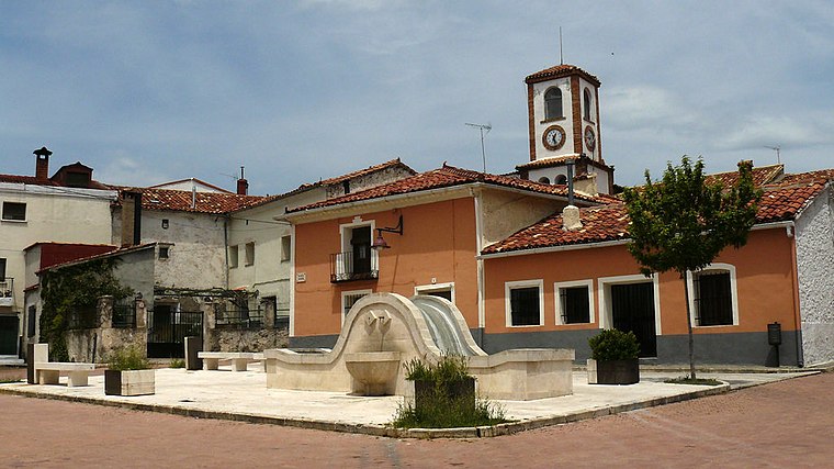
Photo: JAVR56, CC BY-SA 4.0.
Las Majadas is a municipality in Cuenca, Castile-La Mancha, Spain. It has a population of 365. Las Majadas is situated 7 km south of Cascada del Trabaque.
Poyatos
Village

Photo: Pemolo, CC BY-SA 3.0 es.
Poyatos is a municipality located in the province of Cuenca, Castile-La Mancha, Spain. According to the 2010 census, the municipality had a population of 93 inhabitants. Poyatos is situated 7 km north of Cascada del Trabaque.
Arcos de la Sierra
Village

Photo: Wikimedia, CC BY-SA 4.0.
Arcos de la Sierra is a municipality in Cuenca, Castile-La Mancha, Spain. It had a population of 77 as of 2020. Arcos de la Sierra is situated 8 km west of Cascada del Trabaque.
Cascada del Trabaque
- Type: Waterfall
- Category: body of water
- Location: Castillejo-Sierra, Cuenca, Castile-La Mancha, Central Spain, Spain, Iberia, Europe
- View on OpenStreetMap
Latitude
40.35983° or 40° 21′ 35″ northLongitude
-2.02206° or 2° 1′ 19″ westOpen location code
8CGV9X5H+W5OpenStreetMap ID
node 3163607974OpenStreetMap feature
waterway=waterfall
This page is based on OpenStreetMap, Wikidata, and Wikimedia Commons.
We’d love your help improving our open data sources. Thank you for contributing.
Satellite Map
Discover Cascada del Trabaque from above in high-definition satellite imagery.
Notable Places Nearby
Highlights include Casa de Los Olmos and Mirador Balcón de Pilatos.
Nearby Places
Explore places such as Dehesa de Los Olmos and Balcón de Pilatos.
Castile-La Mancha: Must-Visit Destinations
Delve into Toledo, Albacete, Cuenca, and Ciudad Real.
Curious Waterfalls to Discover
Uncover intriguing waterfalls from every corner of the globe.
About Mapcarta. Data © OpenStreetMap contributors and available under the Open Database License". Text is available under the CC BY-SA 4.0 license, except for photos, directions, and the map. Photo: flashcurd, CC BY 2.0.