Acevedo y Corrientes
Acevedo y Corrientes is a bus stop in Comuna 15, Buenos Aires, Buenos Aires. Acevedo y Corrientes is situated nearby to the fire station División Cuartel VI ‘Villa Crespo’, as well as near the college Conservatorio Superior de Música Manuel de Falla - Anexo 4.| Tap on a place to explore it |
Places of Interest Nearby
Highlights include Malabia - Osvaldo Pugliese and Bernardino Rivadavia Natural Sciences Argentine Museum.
Malabia - Osvaldo Pugliese
Metro station
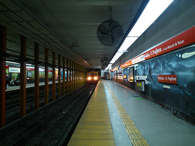
Photo: Tomasmi1996, CC BY-SA 4.0.
Malabia - Osvaldo Pugliese is a station on Line B of the Buenos Aires Metro. The station was opened on 17 October 1930 as part of the inaugural section of the line between Federico Lacroze and Callao. Malabia - Osvaldo Pugliese is situated 130 metres southeast of Acevedo y Corrientes.
Bernardino Rivadavia Natural Sciences Argentine Museum
Museum

Photo: Erico Valadares, CC BY-SA 3.0.
The Bernardino Rivadavia Natural Sciences Argentine Museum is a public museum located in the Caballito neighborhood of Buenos Aires, Argentina. Bernardino Rivadavia Natural Sciences Argentine Museum is situated 1 km south of Acevedo y Corrientes.
Centro Médico Integral Fitz Roy
Hospital

Photo: Gobonobo, CC BY-SA 3.0.
Centro Médico Integral Fitz Roy is a hospital, which is situated 600 metres northeast of Acevedo y Corrientes.
Places in the Area
Nearby places include Casa Colectiva Parque Los Andes and Palermo Soho.
Casa Colectiva Parque Los Andes
Neighborhood

Photo: Roberto Fiadone, CC BY-SA 4.0.
Casa Colectiva Parque Los Andes is a neighborhood.

Caballito
Suburb

Photo: OneEuropeanHeart, CC BY 4.0.
Caballito is a barrio of the Argentine capital, Buenos Aires. It is the only barrio in the administrative division Comuna 6. It is located in the geographical centre of the city, limited by the following streets and avenues: Rio de Janeiro, Av.
Acevedo y Corrientes
- Type: Bus stop
- Category: transportation
- Location: Comuna 15, Buenos Aires, Buenos Aires, Pampas, Argentina, South America
- View on OpenStreetMap
Latitude
-34.5983° or 34° 35′ 54″ southLongitude
-58.44079° or 58° 26′ 27″ westOpen location code
48Q3CH25+MMOpenStreetMap ID
node 3169552759OpenStreetMap feature
highway=bus_stopOpenStreetMap feature
public_transport=platform
This page is based on OpenStreetMap, Wikidata, and Wikimedia Commons.
We’d love your help improving our open data sources. Thank you for contributing.
Satellite Map
Discover Acevedo y Corrientes from above in high-definition satellite imagery.
Notable Places Nearby
Highlights include División Cuartel VI ‘Villa Crespo’ and Conservatorio Superior de Música Manuel de Falla - Anexo 4.
Nearby Places
Explore places such as Acevedo y Corrientes and ICBC.
Buenos Aires: Must-Visit Destinations
Delve into Centro, Palermo & Recoleta, La Boca & Barracas, and Outskirts.
Curious Bus Stops to Discover
Uncover intriguing bus stops from every corner of the globe.
About Mapcarta. Data © OpenStreetMap contributors and available under the Open Database License". Text is available under the CC BY-SA 4.0 license, except for photos, directions, and the map. Photo: Moemoemoe, CC0.