Town End
Town End is a neighborhood in Woodhall Spa, East Lindsey District, England. Town End is situated nearby to the locality Tattershall Road Industrial Estate, as well as near the neighborhood Oaklands.| Tap on a place to explore it |
Places of Interest
Highlights include St Hugh’s School and Woodhall Spa Cottage Museum.
St Hugh’s School
School
St Hugh's School is a coeducational, preparatory school in the village of Woodhall Spa, Lincolnshire, England, founded in 1925. It was originally known as a boarding school, although a significant proportion of its students are now day pupils or flexi-boarders.
Woodhall Spa Cottage Museum
Museum

Photo: E Gammie, CC BY-SA 2.0.
The Woodhall Spa Cottage Museum also known as Woodhall Spa. is a community museum managed by volunteers, and located on Iddesleigh Road, Woodhall Spa, Lincolnshire, England.
The Kinema in the Woods
Movie theater

Photo: Rodney Burton, CC BY-SA 2.0.
The Kinema in the Woods is an historic cinema in the village of Woodhall Spa, Lincolnshire, England. It dates from 1922, and it is the only fully functioning cinema in the UK to employ back projection.
Places in the Area
Nearby places include Kirkstead and Stixwould.
Kirkstead
Hamlet

Photo: David Wright, CC BY-SA 2.0.
Kirkstead is a village and former civil parish now in the parish of Woodhall Spa, in the East Lindsey district, in Lincolnshire, England, on the River Witham.
Stixwould
Village

Photo: Ron Strutt, CC BY-SA 2.0.
Stixwould is a small village in the civil parish of Stixwould and Woodhall, in the East Lindsey district of Lincolnshire, England. Stixwould is situated 2½ miles northwest of Town End.
Tattershall
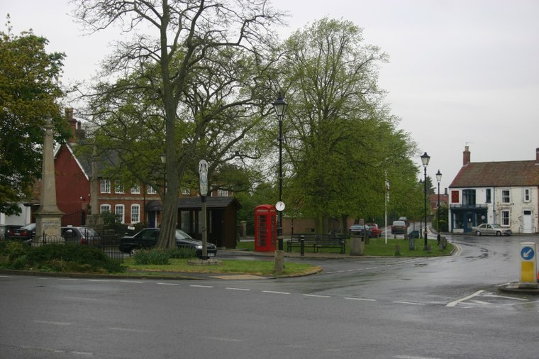
Photo: MortimerCat, CC BY 3.0.
Tattershall is in Lincolnshire. Village historic sites include the church of the Holy Trinity, a buttercross, Tattershall Castle, Collegiate College, and Tom Thumb's house and grave.
Town End
- Type: Neighborhood
- Category: locality
- Location: Woodhall Spa, East Lindsey District, Lincolnshire, East Midlands, England, United Kingdom, Britain and Ireland, Europe
- View on OpenStreetMap
Latitude
53.14533° or 53° 8′ 43″ northLongitude
-0.21582° or 0° 12′ 57″ westOpen location code
9C5X4QWM+4MOpenStreetMap ID
node 3183463106OpenStreetMap feature
place=neighbourhood
This page is based on OpenStreetMap, Wikidata, and Wikimedia Commons.
We’d love your help improving our open data sources. Thank you for contributing.
Satellite Map
Discover Town End from above in high-definition satellite imagery.
Places with the Same Name
Discover other places named “Town End”.
Localities in the Area
Explore places such as Tattershall Road Industrial Estate and Oaklands.
Notable Places Nearby
Highlights include Abbey Lodge Inn and Monks Elder Cottage.
Lincolnshire: Must-Visit Destinations
Delve into Lincoln, Grimsby, Scunthorpe, and Stamford.
Curious Neighborhoods to Discover
Uncover intriguing neighborhoods from every corner of the globe.
About Mapcarta. Data © OpenStreetMap contributors and available under the Open Database License". Text is available under the CC BY-SA 4.0 license, except for photos, directions, and the map. Photo: Wikimedia, CC0.