The Observatory
The Observatory is a scenic viewpoint in Gelligaer, Caerphilly County Borough, Wales. The Observatory is situated nearby to the park Parc Penallta, as well as near the cliff Penallta Rocks.| Tap on a place to explore it |
Places of Interest Nearby
Highlights include Ystrad Mynach railway station and Ystrad Mynach Library.
Ystrad Mynach railway station
Railway station

Photo: Geof Sheppard, CC BY-SA 4.0.
Ystrad Mynach railway station is a railway station serving the town of Ystrad Mynach, south Wales. It is a stop on the Rhymney Line of the Valley Lines network. Ystrad Mynach railway station is situated 3,800 feet southeast of The Observatory.
Ystrad Mynach Library
Library

Photo: Jaggery, CC BY-SA 2.0.
Ystrad Mynach Library is situated 4,000 feet southeast of The Observatory.
Hengoed railway station
Railway station

Photo: Wikimedia, CC BY-SA 3.0.
Hengoed railway station serves the village of Hengoed in the county borough of Caerphilly, South Wales. It is a stop on the Rhymney Line of the Valley Lines network. Hengoed railway station is situated 1 mile east of The Observatory.
Places in the Area
Nearby places include Ystrad Mynach and Cefn Hengoed.
Ystrad Mynach
Town

Photo: John Grayson, CC BY-SA 2.0.
Ystrad Mynach is a town in the Rhymney Valley in the Caerphilly County Borough, within the ancient county of Glamorgan, Wales, and is 5 miles north of the town of Caerphilly.
Cefn Hengoed
Village
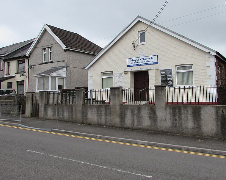
Photo: Jaggery, CC BY-SA 2.0.
Cefn Hengoed is a small village in the Rhymney Valley, in the centre of Caerphilly borough, within the historic boundaries of Glamorganshire. Bordering the larger village of Hengoed, Cefn Hengoed contains the local Derwendeg primary school, which has recently celebrated its 90th birthday.
Hengoed
Village
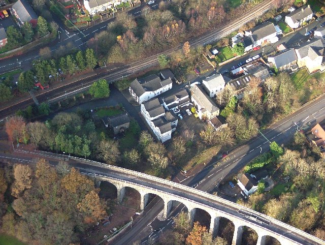
Photo: phil matthews, CC BY-SA 2.0.
Hengoed is a village on the west side of the Rhymney Valley - between Ystrad Mynach to the south and Cefn Hengoed to the north. Across the valley it looks towards Maesycwmmer.
The Observatory
- Type: Scenic viewpoint
- Categories: tourism, historic site, and memorial
- Location: Gelligaer, Caerphilly County Borough, Wales, United Kingdom, Britain and Ireland, Europe
- View on OpenStreetMap
Latitude
51.65012° or 51° 39′ 0″ northLongitude
-3.24873° or 3° 14′ 55″ westOpen location code
9C3RMQ22+2GOpenStreetMap ID
node 3325270130OpenStreetMap feature
historic=memorialOpenStreetMap feature
tourism=viewpoint
This page is based on OpenStreetMap, Wikidata, and Wikimedia Commons.
We’d love your help improving our open data sources. Thank you for contributing.
Satellite Map
Discover The Observatory from above in high-definition satellite imagery.
Places with the Same Name
Discover other places named “The Observatory”.
Notable Places Nearby
Highlights include Parc Penallta and Penallta Rocks.
Nearby Places
Explore places such as Buzzard Way Substation and Cwm Calon Substation.
Wales: Must-Visit Destinations
Delve into Cardiff, Swansea, Newport, and Llanfairpwllgwyngyll.
Curious Scenic Viewpoints to Discover
Uncover intriguing scenic viewpoints from every corner of the globe.
About Mapcarta. Data © OpenStreetMap contributors and available under the Open Database License". Text is available under the CC BY-SA 4.0 license, except for photos, directions, and the map. Photo: fionamcallisterphotography, CC BY 2.0.