Hadsundvej
Hadsundvej is a clock in Aalborg Municipality, North Jutland. Hadsundvej is situated nearby to Filstedvejen School, as well as near Sohngårdsholmsparken.| Tap on a place to explore it |
Places of Interest Nearby
Highlights include Urania Observatory and Sohngaardsholm.
Urania Observatory
Observatory

Photo: Veng, CC BY-SA 3.0.
Urania Observatory is situated 550 metres southwest of Hadsundvej.
Sohngaardsholm
Manor estate

Photo: Lipothymia, CC BY-SA 3.0.
Sohngaardsholm is a manor estate, which is situated 630 metres west of Hadsundvej.
Østre Kirkegård
Cemetery

Photo: Zoizit, CC BY-SA 3.0.
Østre Kirkegård is a cemetery, which is situated 1 km east of Hadsundvej.
Places in the Area
Nearby places include Vejgaard and Eternitten.
Vejgaard
Suburb

Photo: Edam66, Public domain.
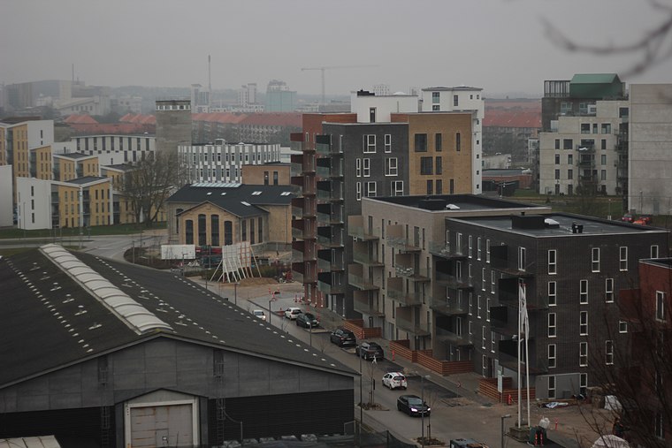
Vejgaard is an eastern neighborhood of Aalborg, Denmark.

Hadsundvej
- Type: Clock
- Location: Aalborg Municipality, North Jutland, Jutland, Denmark, Nordic countries, Europe
- View on OpenStreetMap
Latitude
57.03253° or 57° 1′ 57″ northLongitude
9.95483° or 9° 57′ 17″ eastInception
2011Open location code
9F9F2XM3+2WOpenStreetMap ID
node 3328606505OpenStreetMap feature
amenity=clock
This page is based on OpenStreetMap, Wikidata, and Wikimedia Commons.
We’d love your help improving our open data sources. Thank you for contributing.
Satellite Map
Discover Hadsundvej from above in high-definition satellite imagery.
Notable Places Nearby
Highlights include Filstedvejen School and Sohngårdsholmsparken.
Nearby Places
Explore places such as Doravej (Hadsundvej / Aalborg) and Doravej.
North Jutland: Must-Visit Destinations
Delve into Aalborg, Frederikshavn, Skagen, and Hjørring.
Curious Clocks to Discover
Uncover intriguing clocks from every corner of the globe.
About Mapcarta. Data © OpenStreetMap contributors and available under the Open Database License". Text is available under the CC BY-SA 4.0 license, except for photos, directions, and the map. Photo: Slaunger, CC BY-SA 3.0.