BP
BP is a gas station in Stoke-on-Trent, England. BP is situated nearby to the health club PureGym, as well as near Universal Fitness.| Tap on a place to explore it |
Places of Interest Nearby
Highlights include Stoke-on-Trent Railway Station and Hanley Park.
Stoke-on-Trent Railway Station
Railway station
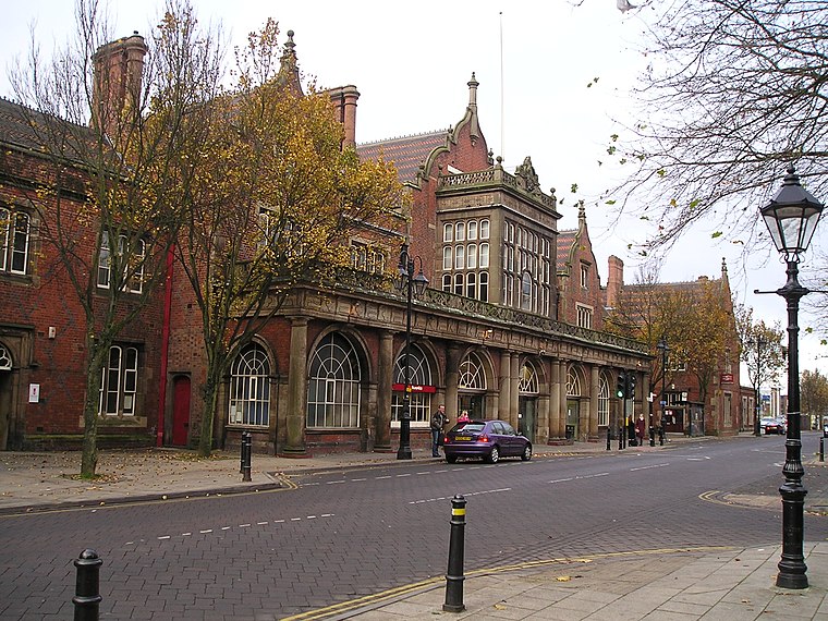
Photo: NoelWalley, CC BY-SA 3.0.
Stoke-on-Trent railway station serves the city of Stoke-on-Trent, in Staffordshire, England. It lies on the Stafford to Manchester branch of the West Coast Main Line. Stoke-on-Trent Railway Station is situated 3,300 feet west of BP.
Hanley Park
Park

Photo: Stephen McKay, CC BY-SA 2.0.
Hanley Park is an urban park in Stoke-on-Trent, England. Officially opened on 20 June 1897, it occupies about 63 acres of land. The park was developed by the town of Hanley over a period of five years and cost approximately £70,000. Hanley Park is situated 2,800 feet northwest of BP.
St Peter’s Academy
School
St. Peter's Academy is an Anglican secondary school in Stoke-on-Trent, England. It is an academy sponsored by the Woodard Academies and the Diocese of Lichfield. St Peter’s Academy is situated 1,700 feet south of BP.
Places in the Area
Nearby places include Shelton and Fenton.
Shelton
Suburb
Shelton is an area of the city of Stoke-on-Trent in Staffordshire, England, between Hanley and Stoke-upon-Trent.
Fenton
Town
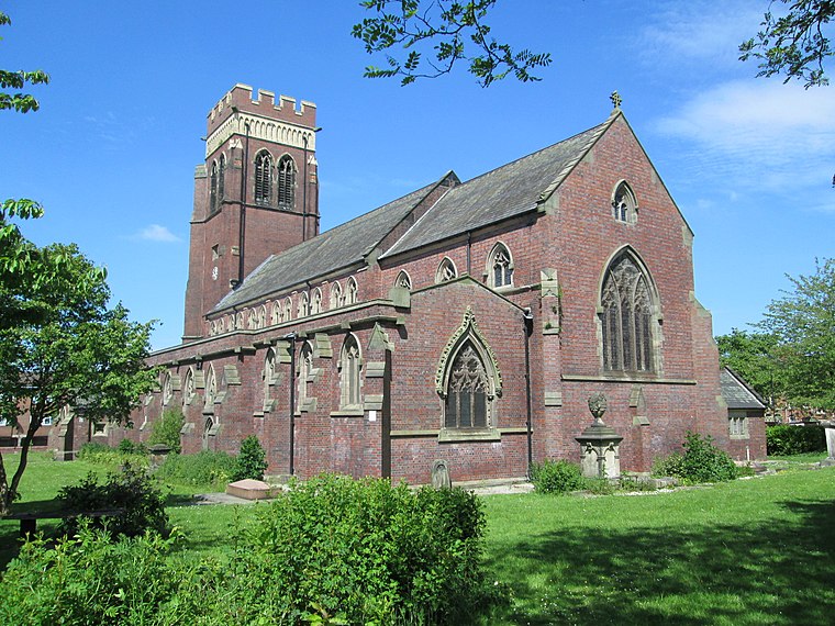
Photo: AtticTapestry, CC BY-SA 4.0.
Fenton is a town in Stoke-on-Trent, in the ceremonial county of Staffordshire, England. It is one of the six towns that amalgamated with Hanley, Tunstall, Burslem, Longton and Stoke-upon-Trent to form the county borough of Stoke-on-Trent in 1910, later raised to city status in 1925.
Stoke-upon-Trent
Town
Photo: NoelWalley, CC BY-SA 3.0.
Stoke-upon-Trent, also known as Stoke, is one of the six towns that along with Hanley, Burslem, Fenton, Longton and Tunstall form the city of Stoke-on-Trent, in Staffordshire, England.
BP
- Type: Gas station
- Category: transportation
- Location: Stoke-on-Trent, England, United Kingdom, Britain and Ireland, Europe
- View on OpenStreetMap
Latitude
53.00986° or 53° 0′ 36″ northLongitude
-2.16625° or 2° 9′ 59″ westBrand
BPOpen location code
9C5V2R5M+WGOpenStreetMap ID
node 333551643OpenStreetMap feature
amenity=fuel
This page is based on OpenStreetMap, Wikidata, and Wikimedia Commons.
We’d love your help improving our open data sources. Thank you for contributing.
Satellite Map
Discover BP from above in high-definition satellite imagery.
Notable Places Nearby
Highlights include PureGym and Universal Fitness.
Nearby Places
Explore places such as Victoria Hand Car Wash and Premier.
England: Must-Visit Destinations
Delve into London, Manchester, Sheffield, and Leeds.
Curious Gas Stations to Discover
Uncover intriguing gas stations from every corner of the globe.
About Mapcarta. Data © OpenStreetMap contributors and available under the Open Database License". Text is available under the CC BY-SA 4.0 license, except for photos, directions, and the map. Photo: Leereyno, CC BY-SA 3.0.