ZA du Pont-Long
ZA du Pont-Long is a neighborhood in Serres-Castet, Arrondissement of Pau, Nouvelle-Aquitaine. ZA du Pont-Long is situated nearby to the locality Ayguelongue, as well as near La Lande du Pont Long.| Tap on a place to explore it |
Places of Interest
Highlights include Pau Pyrénées Airport and Zénith de Pau.
Pau Pyrénées Airport
Aerodrome

Photo: Benoît Prieur, CC0.
Pau Pyrénées Airport is an airport serving Pau, France. It is located 10 km northwest of Pau in Uzein, a commune of the département of Pyrénées-Atlantiques. Pau Pyrénées Airport is situated 3½ km northwest of ZA du Pont-Long.
Zénith de Pau
Arts center

Photo: Wikimedia, CC BY-SA 3.0.
Zénith de Pau is an arts center, which is situated 3 km southeast of ZA du Pont-Long.
School of Airborne Troops
Building
The École des troupes aéroportées, or School of Airborne Troops, is a military school dedicated to training the military paratroopers of the French army.
Places in the Area
Nearby places include Montardon and Serres-Castet.
Montardon
Village

Photo: France64160, CC0.
Montardon is a commune in the Pyrénées-Atlantiques department in south-western France. Montardon offers several sports facilities: a tennis and a basketball playgrounds. Montardon is situated 3 km east of ZA du Pont-Long.
Serres-Castet
Village
Serres-Castet is a commune in the Pyrénées-Atlantiques department in south-western France. Serres-Castet is situated 4 km northeast of ZA du Pont-Long.
Lescar
Village
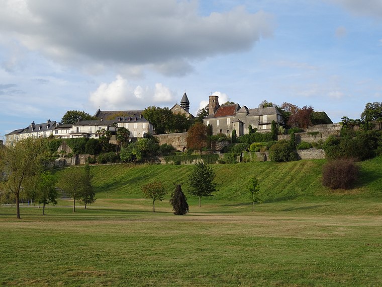
Photo: Flo641, CC BY-SA 4.0.
Lescar is a commune in the Pyrénées-Atlantiques department and Nouvelle-Aquitaine region of south-western France. Lescar is the site of the Roman city known variously as Benearnum, Beneharnum or Civitas Benarnensium, the location providing the name for the later region of Béarn. Lescar is situated 5 km southwest of ZA du Pont-Long.
ZA du Pont-Long
- Type: Neighborhood
- Category: locality
- Location: Serres-Castet, Arrondissement of Pau, Pyrénées-Atlantiques, Nouvelle-Aquitaine, France, Europe
- View on OpenStreetMap
Latitude
43.35805° or 43° 21′ 29″ northLongitude
-0.38524° or 0° 23′ 7″ westOpen location code
8CMX9J57+6WOpenStreetMap ID
node 3380502512OpenStreetMap feature
place=neighbourhood
This page is based on OpenStreetMap, Wikidata, and Wikimedia Commons.
We’d love your help improving our open data sources. Thank you for contributing.
Satellite Map
Discover ZA du Pont-Long from above in high-definition satellite imagery.
Localities in the Area
Explore places such as Ayguelongue and La Lande du Pont Long.
Notable Places Nearby
Highlights include Acro Jungle and L’Orange Bleue.
Pyrénées-Atlantiques: Must-Visit Destinations
Delve into Pau, Bayonne, Biarritz, and Saint-Jean-de-Luz.
Curious Neighborhoods to Discover
Uncover intriguing neighborhoods from every corner of the globe.
About Mapcarta. Data © OpenStreetMap contributors and available under the Open Database License". Text is available under the CC BY-SA 4.0 license, except for photos, directions, and the map. Photo: Shaundd, CC BY-SA 3.0.