Maison de Quartier Ferme
Maison de Quartier Ferme is a community center in Issy-les-Moulineaux, Arrondissement of Boulogne-Billancourt, Île-de-France. Maison de Quartier Ferme is situated nearby to the playground Aire de Jeux Parc de la Résistance, as well as near the church Église Sainte-Lucie d’Issy-les-Moulineaux.| Tap on a place to explore it |
Places of Interest Nearby
Highlights include Église Sainte-Lucie d’Issy-les-Moulineaux and War memorial of Les Moulineaux.
Église Sainte-Lucie d’Issy-les-Moulineaux
Church

Photo: Chabe01, CC BY-SA 4.0.
Église Sainte-Lucie d’Issy-les-Moulineaux is a church.

Hôpital d’instruction des armées Percy
Hospital
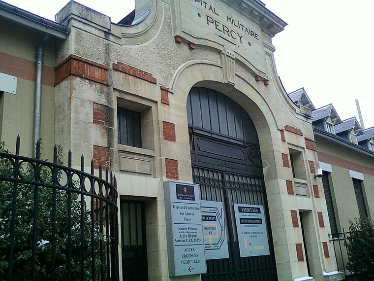
Photo: Strologoff, CC BY-SA 3.0.
The Hôpital d'instruction des armées Percy or HIA Percy is a military hospital in Clamart, near Paris, France. It is managed by the Service de santé des armées and provides health services to both military and civilian patients. Hôpital d’instruction des armées Percy is situated 630 metres southeast of Maison de Quartier Ferme.
Places in the Area
Nearby places include Meudon and Issy-les-Moulineaux.
Meudon
Town

Photo: Jean-Christophe BENOIST, CC BY 3.0.
Meudon is a French commune located in the Hauts-de-Seine department in the Île-de-France region, on the left bank of the Seine. It is located 9.1 km from the center of Paris.
Issy-les-Moulineaux
Town

Photo: Guilhem Vellut, CC BY 2.0.
Issy-les-Moulineaux is a commune in the southwestern suburban area of Paris, France, lying on the left bank of the river Seine. Its citizens are called Isséens in French.
Boulogne-Billancourt

Photo: Apostoly, CC BY-SA 3.0.
Boulogne-Billancourt is a wealthy area in the inner south-western suburbs of Paris. With its approximately 121,000 inhabitants, it is the most populous municipality in the Paris urban area after the city of Paris, and one of the most densely populated.
Maison de Quartier Ferme
Latitude
48.81923° or 48° 49′ 9″ northLongitude
2.25155° or 2° 15′ 6″ eastOpen location code
8FW4R792+MJOpenStreetMap ID
node 3383297911OpenStreetMap feature
amenity=community_centre
This page is based on OpenStreetMap, Wikidata, and Wikimedia Commons.
We’d love your help improving our open data sources. Thank you for contributing.
Satellite Map
Discover Maison de Quartier Ferme from above in high-definition satellite imagery.
Notable Places Nearby
Highlights include Aire de Jeux Parc de la Résistance and Parc de la Résistance.
Nearby Places
Explore places such as Info Municipale and Trophées.
Île-de-France: Must-Visit Destinations
Delve into Paris, Versailles, Boulogne-Billancourt, and Paris Charles de Gaulle Airport.
Curious Community Centers to Discover
Uncover intriguing community centers from every corner of the globe.
About Mapcarta. Data © OpenStreetMap contributors and available under the Open Database License". Text is available under the CC BY-SA 4.0 license, except for photos, directions, and the map. Photo: Clicsouris, CC BY-SA 2.5.