Via Bologna
Via Bologna is a monitoring station in Ferrara, Ferrara, Emilia-Romagna. Via Bologna is situated nearby to the government office Circoscrizione 2, as well as near the art gallery Lacerba - Galleria d’arte.| Tap on a place to explore it |
Places of Interest Nearby
Highlights include Ferrara Cathedral and National Museum of Italian Judaism and the Shoah.
Ferrara Cathedral
Church

Photo: Herbert Ortner, CC BY 2.5.
Ferrara Cathedral is a Roman Catholic cathedral and minor basilica in Ferrara, Northern Italy. Dedicated to Saint George, the patron saint of the city, it is the seat of the Archbishop of Ferrara and the largest religious building in the city. Ferrara Cathedral is situated 790 metres northeast of Via Bologna.
National Museum of Italian Judaism and the Shoah
Museum
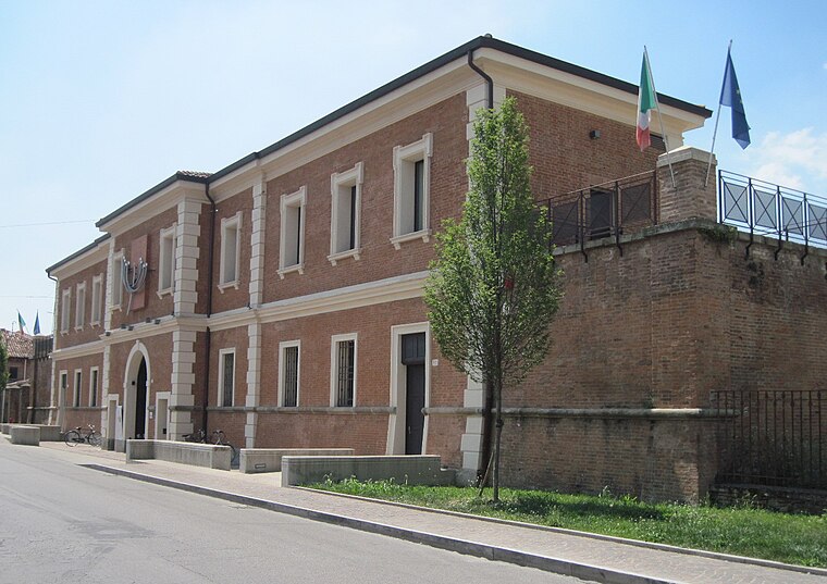
Photo: Lungoleno, CC BY-SA 4.0.
The Museum of Italian Judaism and the Shoah is a public history museum in Ferrara, Italy. It opened in 2017, and traces the history of the Jewish people in Italy starting from the Roman empire through the Holocaust of the 20th century. National Museum of Italian Judaism and the Shoah is situated 620 metres north of Via Bologna.
Biblioteca Comunale Ariostea
Library

Photo: Lungoleno, CC BY-SA 2.5.
The Biblioteca Comunale Ariostea is located in the Palazzo Paradiso in central Ferrara, region of Emilia-Romagna, Italy. It was named Ariostea, because the collection contains manuscripts related to the author, and within the palace also lies the tomb of Ludovico Ariosto. Biblioteca Comunale Ariostea is situated 660 metres northeast of Via Bologna.
Places in the Area
Nearby places include Malborghetto di Boara and Cassana.
Malborghetto di Boara
Village
Photo: Nicola Quirico, CC BY-SA 4.0.
Malborghetto di Boara is a village, which is situated 4 km northeast of Via Bologna.
Cassana
Village

Photo: Paolo Monti, CC BY-SA 4.0.
Cassana is a village, which is situated 4½ km northwest of Via Bologna.
Pontelagoscuro
Village

Photo: Rapallo80, CC BY-SA 4.0.
Ferrara is a city and comune in Emilia-Romagna, Northern Italy, capital of the province of Ferrara. As of 2016, it had 132,009 inhabitants. It is situated 44 kilometres northeast of Bologna, on the Po di Volano, a branch channel of the main stream of the Po River, located 5 km north. Pontelagoscuro is situated 5 km north of Via Bologna.
Via Bologna
- Type: Monitoring station
- Location: Ferrara, Ferrara, Emilia-Romagna, Northeast Italy, Italy, Europe
- View on OpenStreetMap
Latitude
44.82994° or 44° 49′ 48″ northLongitude
11.61423° or 11° 36′ 51″ eastInception
2013Open location code
8FPHRJH7+XMOpenStreetMap ID
node 3400807630OpenStreetMap feature
man_made=monitoring_station
This page is based on OpenStreetMap, Wikidata, and Wikimedia Commons.
We’d love your help improving our open data sources. Thank you for contributing.
Satellite Map
Discover Via Bologna from above in high-definition satellite imagery.
Notable Places Nearby
Highlights include Circoscrizione 2 and Ufficio postale Via Bologna.
Nearby Places
Explore places such as Caduti di borgo S. Luca and Sollevamento Fognario S3 cod..
Emilia-Romagna: Must-Visit Destinations
Delve into Bologna, Ravenna, Parma, and Modena.
Curious Monitoring Stations to Discover
Uncover intriguing monitoring stations from every corner of the globe.
About Mapcarta. Data © OpenStreetMap contributors and available under the Open Database License". Text is available under the CC BY-SA 4.0 license, except for photos, directions, and the map. Photo: [2], CC BY-SA 2.0.