Kostümverleih Dögl
Kostümverleih Dögl is a clothing store in Traiskirchen, Politischer Bezirk Baden, Lower Austria which is located on Josef Berghold-Straße. Kostümverleih Dögl is situated nearby to the fire station Freiwillige Feuerwehr Traiskirchen-Möllersdorf, as well as near the building Schlössl Möllersdorf.| Tap on a place to explore it |
Places of Interest Nearby
Highlights include Schlössl Möllersdorf and Stadtmuseum Traiskirchen.
Schlössl Möllersdorf
Building
 Schlössl Möllersdorf is a building, which is situated 150 metres south of Kostümverleih Dögl.
Stadtmuseum Traiskirchen
Museum

Photo: Bwag, CC BY-SA 3.0.
Stadtmuseum Traiskirchen is situated 560 metres northeast of Kostümverleih Dögl.
St. Margareta (Traiskirchen)
Church
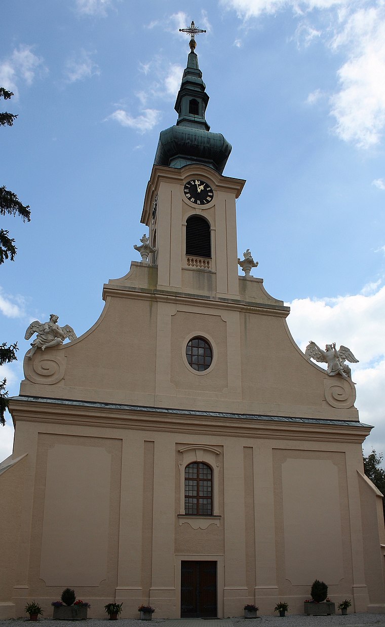
Photo: Bwag, CC BY-SA 3.0.
St. Margareta (Traiskirchen) is a church, which is situated 1 km southwest of Kostümverleih Dögl.
Places in the Area
Nearby places include Gumpoldskirchen and Pfaffstätten.
Gumpoldskirchen
Village

Photo: Bwag, CC BY-SA 4.0.
Gumpoldskirchen is a town in the district of Mödling in the Austrian state of Lower Austria. Gumpoldskirchen borders on the municipalities Mödling, Guntramsdorf, Gaaden, Pfaffstätten and Traiskirchen. Gumpoldskirchen is situated 3 km northwest of Kostümverleih Dögl.
Pfaffstätten
Village

Photo: Wikimedia, CC BY-SA 3.0.
Pfaffstätten is a town in the district of Baden in Lower Austria in Austria. Pfaffstätten is situated 3 km west of Kostümverleih Dögl.
Tribuswinkel
Village

Photo: Bwag, CC BY-SA 4.0.
Tribuswinkel is a town and cadastral community in the district of Baden in Lower Austria in northeast Austria. Since 1972, it is part of the Municipality of Traiskirchen. Tribuswinkel is situated 3 km southwest of Kostümverleih Dögl.
Kostümverleih Dögl
- Type: Clothing store
- Address: Josef Berghold-Straße 3, Möllersdorf, 2514
- Category: shop
- Location: Traiskirchen, Politischer Bezirk Baden, Lower Austria, Austria, Central Europe, Europe
- View on OpenStreetMap
Latitude
48.02563° or 48° 1′ 32″ northLongitude
16.30309° or 16° 18′ 11″ eastOpen location code
8FWR28G3+76OpenStreetMap ID
node 3404344593OpenStreetMap feature
shop=clothes
This page is based on OpenStreetMap, Wikidata, and Wikimedia Commons.
We’d love your help improving our open data sources. Thank you for contributing.
Satellite Map
Discover Kostümverleih Dögl from above in high-definition satellite imagery.
Notable Places Nearby
Highlights include Freiwillige Feuerwehr Traiskirchen-Möllersdorf and Bürgerservicestelle Möllersdorf.
Nearby Places
Explore places such as Faly Café Bäckerei Spezerei and Pizzeria Super Mario.
Lower Austria: Must-Visit Destinations
Delve into St. Pölten, Wiener Neustadt, Amstetten, and Klosterneuburg.
Curious Clothing Stores to Discover
Uncover intriguing clothing stores from every corner of the globe.
About Mapcarta. Data © OpenStreetMap contributors and available under the Open Database License". Text is available under the CC BY-SA 4.0 license, except for photos, directions, and the map. Photo: Lonezor, CC BY-SA 3.0.