Deluxe Off-License
Deluxe Off-License is a convenience store in South Kensington-Chelsea, Greater London, England. Deluxe Off-License is situated nearby to the community center Family Action, as well as near the church Kingdom Hall of Jehovah’s Witnesses.| Tap on a place to explore it |
Places of Interest Nearby
Highlights include Emslie Horniman’s Pleasance and Queen’s Park Library, London.
Emslie Horniman’s Pleasance
Garden
Emslie Horniman's Pleasance is a park in Kensal Town, in the Borough of Kensington and Chelsea, London. It is named after the person who created it, Emslie John Horniman the MP for Chelsea. Emslie Horniman’s Pleasance is situated 690 feet southwest of Deluxe Off-License.
Queen’s Park Library, London
Library

Photo: David Hawgood, CC BY-SA 2.0.
Queen’s Park Library, London is situated 860 feet west of Deluxe Off-License.
St Thomas Kensal Town
Church

Photo: John Salmon, CC BY-SA 2.0.
St Thomas Kensal Town is a church, which is situated 610 feet west of Deluxe Off-License.
Places in the Area
Nearby places include Kensal Town and North Kensington.
Kensal Town
Suburb
Kensal Town is a district located partly in the Royal Borough of Kensington and Chelsea, and partly in the City of Westminster. The Grand Union Canal, which passes through it, forms the boundary of the two boroughs.
North Kensington
Suburb
North Kensington is an area of west and northwest London. It is north of Notting Hill and south of Kensal Green predominately in the Royal Borough of Kensington and Chelsea and partly in the London Borough of Brent and City of Westminster.
Maida Hill
Suburb
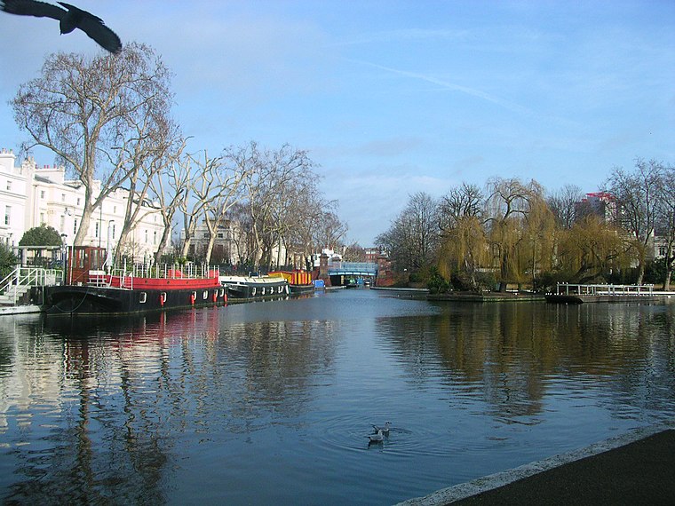
Photo: Charlesdrakew, Public domain.
Maida Vale is an affluent residential district in West London, England, north of Paddington, southwest of St John's Wood and south of Kilburn, on Edgware Road.
Deluxe Off-License
- Type: Convenience store
- Categories: shop and food
- Location: South Kensington-Chelsea, Greater London, London, England, United Kingdom, Britain and Ireland, Europe
- View on OpenStreetMap
Latitude
51.52651° or 51° 31′ 35″ northLongitude
-0.20713° or 0° 12′ 26″ westOpen location code
9C3XGQGV+J4OpenStreetMap ID
node 3412461294OpenStreetMap feature
shop=convenience
This page is based on OpenStreetMap, Wikidata, and Wikimedia Commons.
We’d love your help improving our open data sources. Thank you for contributing.
Satellite Map
Discover Deluxe Off-License from above in high-definition satellite imagery.
Notable Places Nearby
Highlights include Family Action and Kingdom Hall of Jehovah’s Witnesses.
Nearby Places
Explore places such as Atlas Halal Meat and Second Avenue.
London: Must-Visit Destinations
Delve into Heathrow Airport, City of London, Westminster, and South London.
Curious Convenience Stores to Discover
Uncover intriguing convenience stores from every corner of the globe.
About Mapcarta. Data © OpenStreetMap contributors and available under the Open Database License". Text is available under the CC BY-SA 4.0 license, except for photos, directions, and the map. Photo: Peter Suranyi, CC BY-SA 3.0.