Lugersreith
Lugersreith is a dwelling in Türnitz, Lilienfeld District, Lower Austria. Lugersreith is situated nearby to the peak Wackelstein, as well as near the mountain saddle Pielachtaler Gscheid.| Tap on a place to explore it |
Places of Interest Nearby
Highlights include Pielachtaler Gscheid and Historical fire house in Türnitz.
Pielachtaler Gscheid
Mountain saddle
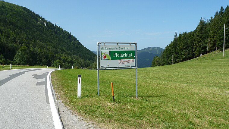
Photo: Fazer910, CC BY-SA 3.0.
Pielachtaler Gscheid is a mountain saddle, which is situated 2½ km northwest of Lugersreith.
Historical fire house in Türnitz
Museum

Photo: Bwag, CC BY-SA 3.0.
Historical fire house in Türnitz is a museum, which is situated 2½ km east of Lugersreith.
Kirche Türnitz
Church

Photo: Bwag, CC BY-SA 3.0.
Kirche Türnitz is a church, which is situated 3 km east of Lugersreith.
Lugersreith
- Type: Dwelling
- Categories: locality, residential building, and building
- Location: Türnitz, Lilienfeld District, Lower Austria, Austria, Central Europe, Europe
- View on OpenStreetMap
Latitude
47.92612° or 47° 55′ 34″ northLongitude
15.45557° or 15° 27′ 20″ eastOpen location code
8FVQWFG4+C6OpenStreetMap ID
node 3438703301OpenStreetMap feature
place=isolated_dwelling
This page is based on OpenStreetMap, Wikidata, and Wikimedia Commons.
We’d love your help improving our open data sources. Thank you for contributing.
Satellite Map
Discover Lugersreith from above in high-definition satellite imagery.
Notable Places Nearby
Highlights include Abrisskluft bei der Wildfrauenhöhle and Wildfrauenhöhle.
Nearby Places
Explore places such as Presthof and Glasberg.
Lower Austria: Must-Visit Destinations
Delve into St. Pölten, Wiener Neustadt, Amstetten, and Klosterneuburg.
Curious Dwellings to Discover
Uncover intriguing dwellings from every corner of the globe.
About Mapcarta. Data © OpenStreetMap contributors and available under the Open Database License". Text is available under the CC BY-SA 4.0 license, except for photos, directions, and the map. Photo: Lonezor, CC BY-SA 3.0.