Centre National d’Appui à la Lutte contre la Maladie
Centre National d’Appui à la Lutte contre la Maladie is a clinic in Bamako Cercle, Bamako, Koulikoro. Centre National d’Appui à la Lutte contre la Maladie is situated nearby to the sports venue Salle Dojo Camp Para, as well as near the government office Agence National d’Evaluation des Hopitaux (ANEH).| Tap on a place to explore it |
Places of Interest Nearby
Highlights include Embassy of the United States and Embassy of Ghana.
Embassy of the United States
Government office
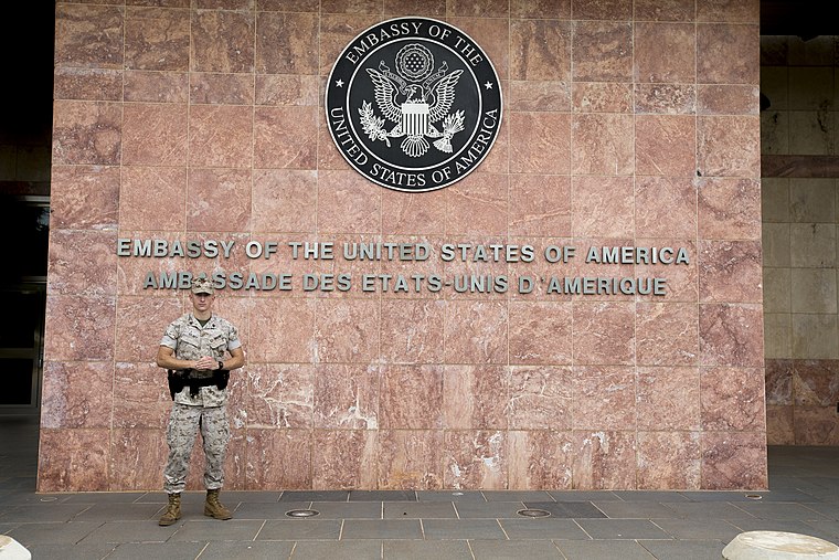
Photo: Diplomatic Security Service, Public domain.
Embassy of the United States is a government office, which is situated 1¼ km northeast of Centre National d’Appui à la Lutte contre la Maladie.
Embassy of Ghana
Government office
The Embassy of Ghana in Bamako is the diplomatic mission of the Republic of Ghana to Mali. It also serves as the official residence of the Ghana ambassador to Mali. Embassy of Ghana is situated 1½ km northwest of Centre National d’Appui à la Lutte contre la Maladie.
Embassy of France, Bamako
Government office
The Embassy of France in Bamako is the diplomatic mission of France to Mali. It is in Patrice Lumumba Square in Bamako, the capital of Mali. In 2022, Joël Meyer, the French ambassador to Mali, was expelled by Mali for diplomatic reasons. Embassy of France, Bamako is situated 4 km northeast of Centre National d’Appui à la Lutte contre la Maladie.
Centre National d’Appui à la Lutte contre la Maladie
- Type: Clinic
- Also known as: “Institut Marchoux”
- Category: health care
- Location: Bamako Cercle, Bamako, Koulikoro, Mali, Sahel, Africa
- View on OpenStreetMap
Latitude
12.62172° or 12° 37′ 18″ northLongitude
-8.02643° or 8° 1′ 35″ westOpen location code
7C4HJXCF+MCOpenStreetMap ID
node 3463650744OpenStreetMap feature
amenity=clinic
This page is based on OpenStreetMap, Wikidata, and Wikimedia Commons.
We’d love your help improving our open data sources. Thank you for contributing.
Satellite Map
Discover Centre National d’Appui à la Lutte contre la Maladie from above in high-definition satellite imagery.
Notable Places Nearby
Highlights include Salle Dojo Camp Para and Agence National d’Evaluation des Hopitaux (ANEH).
Nearby Places
Explore places such as Mariambougou plaque and kiosque Pmu Mali camp Para.
Curious Clinics to Discover
Uncover intriguing clinics from every corner of the globe.
About Mapcarta. Data © OpenStreetMap contributors and available under the Open Database License". Text is available under the CC BY-SA 4.0 license, except for photos, directions, and the map. Photo: Rgaudin, Public domain.