Dobogó-bérc
Dobogó-bérc is a locality in Heves County, Northern Hungary. Dobogó-bérc is situated nearby to the locality Verőforrás v.m., as well as near Villóbérc v.m..| Tap on a place to explore it |
Places of Interest
Highlights include Church of the Nativity of Saint John the Baptist, Szarvaskő and Castle of Szarvaskő.

Castle of Szarvaskő
Ruins
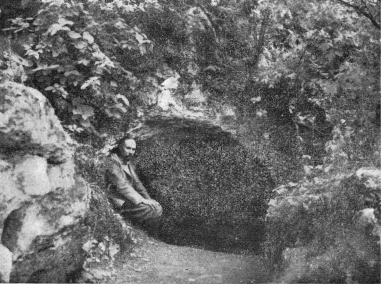
 Castle of Szarvaskő is a ruins, which is situated 3 km north of Dobogó-bérc.
Places in the Area
Nearby places include Szarvaskő and Eger district.
Szarvaskő
Village

Photo: Wojsyl, CC BY-SA 3.0.
Szarvaskő is a village in Heves County, Northern Hungary Region, Hungary. Szarvaskő is situated 2½ km north of Dobogó-bérc.
Eger district

Photo: Globetrotter19, CC BY-SA 3.0.
Eger is a district in eastern part of Heves County. Eger is also the name of the town where the district seat is found. The district is located in the Northern Hungary Statistical Region.
Eger

Photo: Sprok, CC BY-SA 3.0.
Eger is a historic town in Northern Hungary, capital of Heves County, situated between the Mátra and Bükk mountains. Eger district outside of the city is covered in a separate article.
Dobogó-bérc
- Type: Locality
- Location: Heves County, Northern Hungary, Hungary, Central Europe, Europe
- View on OpenStreetMap
Latitude
47.96537° or 47° 57′ 55″ northLongitude
20.32424° or 20° 19′ 27″ eastOpen location code
8GV2X88F+4MOpenStreetMap ID
node 3470089679OpenStreetMap feature
place=locality
This page is based on OpenStreetMap, Wikidata, and Wikimedia Commons.
We’d love your help improving our open data sources. Thank you for contributing.
Satellite Map
Discover Dobogó-bérc from above in high-definition satellite imagery.
Localities in the Area
Explore places such as Verőforrás v.m. and Villóbérc v.m..
Notable Places Nearby
Highlights include Mott-hegy and Kotymány orma.
Heves County: Must-Visit Destinations
Delve into Eger, Gyöngyös, Pétervására, and Bélapátfalva.
Curious Localities to Discover
Uncover intriguing localities from every corner of the globe.
About Mapcarta. Data © OpenStreetMap contributors and available under the Open Database License". Text is available under the CC BY-SA 4.0 license, except for photos, directions, and the map. Photo: Pe-Jo, CC BY-SA 3.0.