Hillcroft Road
Hillcroft Road is a bus stop in Chepping Wycombe, Buckinghamshire, England. Hillcroft Road is situated nearby to Church of St Margaret, as well as near the community center Tylers Green Village Hall.| Tap on a place to explore it |
Places of Interest Nearby
Highlights include Church of St Margaret and The Queens Head Public House.
Church of St Margaret
Church

Photo: John Salmon, CC BY-SA 2.0.
Church of St Margaret is situated 1,100 feet south of Hillcroft Road.
The Queens Head Public House
Pub
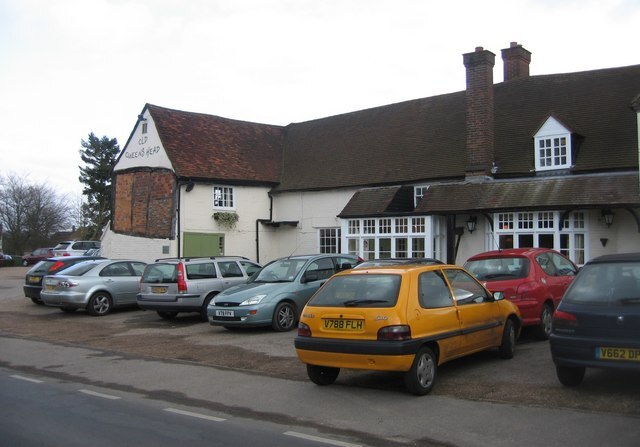
Photo: Sebastian Ballard, CC BY-SA 2.0.
The Queens Head Public House is situated 1,200 feet southeast of Hillcroft Road.
Gomm’s Wood
Nature reserve
Gomm's Wood is an 18.1 hectares Local Nature Reserve in High Wycombe in Buckinghamshire. It is owned and managed by Wycombe District Council. The site has areas of chalk grassland, ancient and young woodland and scrub.
Places in the Area
Nearby places include Tylers Green and Penn.
Tylers Green
Village
Photo: John Salmon, CC BY-SA 2.0.
Tylers Green is a village in the civil parish of Chepping Wycombe, Buckinghamshire, England. The village is adjoined on one side by Hazlemere and on the other by Penn.
Penn
Village
 Penn is a village and civil parish in Buckinghamshire, England, about 3 miles north-west of Beaconsfield and 4 miles east of High Wycombe. The parish's 3,991 acres cover Penn village and the hamlets of Penn Street, Knotty Green, Forty Green and Winchmore Hill.
Hazlemere
Village

Photo: UKgeofan, CC BY-SA 3.0.
Hazlemere is a village and civil parish in Buckinghamshire, England, 2.5 miles northeast of High Wycombe on the A404 leading to Amersham, which intersects with the B474 at Hazlemere.
Hillcroft Road
- Type: Bus stop
- Category: transportation
- Location: Chepping Wycombe, Wycombe, Buckinghamshire, South East England, England, United Kingdom, Britain and Ireland, Europe
- View on OpenStreetMap
Latitude
51.63821° or 51° 38′ 18″ northLongitude
-0.69768° or 0° 41′ 52″ westOpen location code
9C3XJ8Q2+7WOpenStreetMap ID
node 3471304192OpenStreetMap feature
highway=bus_stopOpenStreetMap feature
public_transport=platform
This page is based on OpenStreetMap, Wikidata, and Wikimedia Commons.
We’d love your help improving our open data sources. Thank you for contributing.
Satellite Map
Discover Hillcroft Road from above in high-definition satellite imagery.
Notable Places Nearby
Highlights include Tylers Green Village Hall and Bethlehem Meeting Hall.
Nearby Places
Explore places such as Hillcroft Road and The Horse and Jockey.
Buckinghamshire: Must-Visit Destinations
Delve into Milton Keynes, Aylesbury, High Wycombe, and Buckingham.
Curious Bus Stops to Discover
Uncover intriguing bus stops from every corner of the globe.
About Mapcarta. Data © OpenStreetMap contributors and available under the Open Database License". Text is available under the CC BY-SA 4.0 license, except for photos, directions, and the map. Photo: Wikimedia, CC0.