Negaunee Township Hall
Negaunee Township Hall is a town hall in Negaunee Township, Marquette, Michigan. Negaunee Township Hall is situated nearby to the fire station Negaunee Township Fire Department, as well as near Peter Waara Park.| Tap on a place to explore it |
Places in the Area
Nearby places include Negaunee and Trowbridge Park.
Negaunee
Town
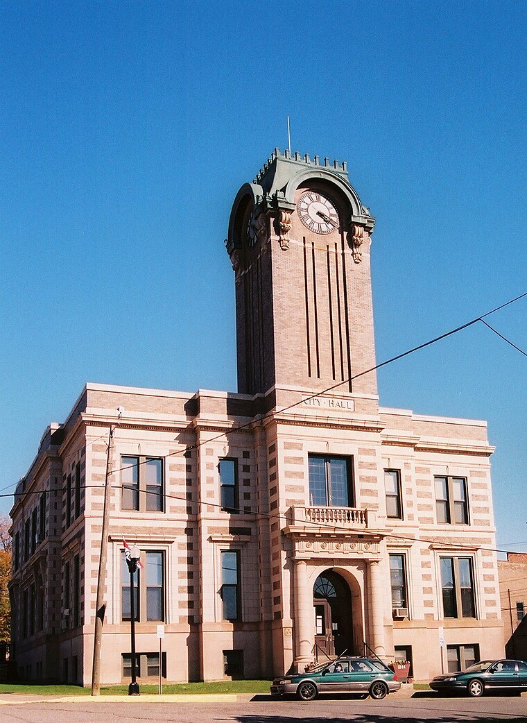
Photo: Imzadi1979, CC BY-SA 2.5.
Negaunee is a city in Marquette County in the U.S. state of Michigan. The population was 4,627 at the 2020 census. The city is located at the southwest corner of Negaunee Township, which is administratively separate, in the Upper Peninsula. Negaunee is situated 4 miles southwest of Negaunee Township Hall.
Trowbridge Park
Village
Trowbridge Park is an unincorporated community in Marquette Township, Marquette County, in the U.S. state of Michigan. It is also a census-designated place for statistical purposes and has no legal status as an incorporated municipality. Trowbridge Park is situated 5 miles east of Negaunee Township Hall.
Negaunee Township Hall
- Type: Town hall
- Category: government building
- Location: Negaunee Township, Marquette, Michigan, Midwest, United States, North America
- View on OpenStreetMap
Latitude
46.52744° or 46° 31′ 39″ northLongitude
-87.54307° or 87° 32′ 35″ westOpen location code
86RJGFG4+XQOpenStreetMap ID
node 3485490731OpenStreetMap feature
amenity=townhall
This page is based on OpenStreetMap, Wikidata, and Wikimedia Commons.
We’d love your help improving our open data sources. Thank you for contributing.
Satellite Map
Discover Negaunee Township Hall from above in high-definition satellite imagery.
Notable Places Nearby
Highlights include Negaunee Township Hall and Negaunee Township Fire Department.
Nearby Places
Explore places such as Windows Outfitters and Negaunee Schools Bus Garage.
Michigan: Must-Visit Destinations
Delve into Detroit, Ann Arbor, Lansing, and Grand Rapids.
Curious Town Halls to Discover
Uncover intriguing town halls from every corner of the globe.
About Mapcarta. Data © OpenStreetMap contributors and available under the Open Database License". Text is available under the CC BY-SA 4.0 license, except for photos, directions, and the map. Photo: Wikimedia, CC0.