Dumaguete City Health Office
Dumaguete City Health Office is a social service facility in Dumaguete, Negros Oriental, Central Visayas, Davao Region which is located on Senator Lorenzo G. Teves Street. Dumaguete City Health Office is situated nearby to the government office Dumaguete City Council, as well as near Dumaguete Fire Station.| Tap on a place to explore it |
- Opening hours: 24/7
- Type: Social service facility
- Address: Senator Lorenzo G. Teves Street
Places of Interest Nearby
Highlights include Dumaguete Presidencia and Panilongon quincentennial historical marker.
Dumaguete Presidencia
Museum

Photo: Carlojoseph14, CC BY-SA 4.0.
The Dumaguete Presidencia is a historic building in Dumaguete, Philippines. The Presidencia was built in 1937 with Juan Arellano as its architect. It is a mixture of indigenous Filipino, Spanish and neoclassical architecture.
Panilongon quincentennial historical marker
Memorial

Photo: Wikimedia, Public domain.
Panilongon quincentennial historical marker is a memorial, which is situated 190 metres northeast of Dumaguete City Health Office.
Silliman Hall
Historic building

Photo: AndreoBongco, CC BY-SA 3.0.
The Silliman Hall is a building constructed in the Stick Style of American architecture in Dumaguete, Negros Oriental, Philippines. It was built in the early 1900s. It was converted to a museum in 1970. It is located in Dumaguete, Negros Oriental, Philippines. Silliman Hall is situated 660 metres north of Dumaguete City Health Office.
Places in the Area
Nearby places include Sibulan and Bacong.
Sibulan
Town
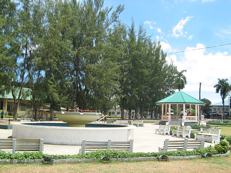
Photo: TheCoffee, CC BY-SA 3.0.
Sibulan, officially the Municipality of Sibulan, is a municipality in the province of Negros Oriental, Philippines. According to the 2020 census, it has a population of 64,343 people. Sibulan is situated 7 km northwest of Dumaguete City Health Office.
Bacong
Town
 Bacong, officially the Municipality of Bacong, is a municipality in the province of Negros Oriental, Philippines. According to the 2020 census, it has a population of 41,207 people. Bacong is situated 7 km south of Dumaguete City Health Office.
Valencia
Town

Photo: TheCoffee, Public domain.
Valencia, officially the Municipality of Valencia, is a municipality in the province of Negros Oriental, Philippines. According to the 2020 census, it has a population of 38,733 people. Valencia is situated 8 km west of Dumaguete City Health Office.
Dumaguete City Health Office
Latitude
9.30494° or 9° 18′ 18″ northLongitude
123.31001° or 123° 18′ 36″ eastOpen location code
6QX58836+X2OpenStreetMap ID
node 3500822077OpenStreetMap feature
amenity=social_facility
This page is based on OpenStreetMap, Wikidata, and Wikimedia Commons.
We’d love your help improving our open data sources. Thank you for contributing.
Satellite Map
Discover Dumaguete City Health Office from above in high-definition satellite imagery.
Notable Places Nearby
Highlights include Dumaguete City Council and Dumaguete Fire Station.
Nearby Places
Explore places such as C and L Bayview and Dumaguete Presidencia, Important Cultural Property marker.
Negros Oriental: Must-Visit Destinations
Delve into Bayawan, Bais, Guihulngan, and Mabinay.
Curious Social Service Facilities to Discover
Uncover intriguing social service facilities from every corner of the globe.
About Mapcarta. Data © OpenStreetMap contributors and available under the Open Database License". Text is available under the CC BY-SA 4.0 license, except for photos, directions, and the map. Photo: MarionPaulBaylado, CC BY-SA 3.0.