D W Pointer
D W Pointer is an office in Bromsgrove District, Worcestershire, England. D W Pointer is situated nearby to the health club The Studio, as well as near the sports venue Verve Martial Arts.| Tap on a place to explore it |
Places of Interest Nearby
Highlights include Bromsgrove railway station and Avoncroft Museum of Historic Buildings.
Bromsgrove railway station
Railway station

Photo: Stephen Craven, CC BY-SA 2.0.
Bromsgrove railway station serves the town of Bromsgrove in Worcestershire, England. It is located at the foot of the two-mile Lickey Incline which ascends at a gradient of 1-in-37.7 towards Barnt Green on the line between Birmingham and Worcester. Bromsgrove railway station is situated 2,900 feet east of D W Pointer.
Avoncroft Museum of Historic Buildings
Museum

Photo: Mike Goodwin, CC BY-SA 2.0.
Avoncroft Museum of Historic Buildings is an open-air museum of rescued buildings which have been relocated to its site in Stoke Heath, a district of Bromsgrove, Worcestershire, England. Avoncroft Museum of Historic Buildings is situated 2,600 feet southwest of D W Pointer.
South Bromsgrove High School
School
South Bromsgrove High School is a co-educational, upper school and sixth form with academy status, located in Bromsgrove, Worcestershire, England. It is located opposite the housing estate of Charford. South Bromsgrove High School is situated 2,800 feet north of D W Pointer.
Places in the Area
Nearby places include Charford and Aston Fields.
Charford
Suburb

Photo: Roy Hughes, CC BY-SA 2.0.
Charford is a small village located close to the town centre of Bromsgrove in Worcestershire, England.
Aston Fields
Suburb

Photo: al partington, CC BY-SA 2.0.
Aston Fields is a village in the district of Bromsgrove, Worcestershire, United Kingdom. It is situated to the south of Bromsgrove and is the site of Bromsgrove railway station.
Bromsgrove
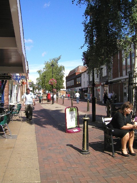
Photo: Chris McMillan, CC BY-SA 2.0.
Bromsgrove is a dormitory town in Worcestershire. Bromsgrove is not much of a tourist destination, but it hosts a well regarded annual music festival.
D W Pointer
- Type: Business
- Category: office
- Location: Bromsgrove District, Worcestershire, West Midlands, England, United Kingdom, Britain and Ireland, Europe
- View on OpenStreetMap
Latitude
52.31727° or 52° 19′ 2″ northLongitude
-2.06211° or 2° 3′ 44″ westOpen location code
9C4V8W8Q+W5OpenStreetMap ID
node 3504165783OpenStreetMap feature
office=company
This page is based on OpenStreetMap, Wikidata, and Wikimedia Commons.
We’d love your help improving our open data sources. Thank you for contributing.
Satellite Map
Discover D W Pointer from above in high-definition satellite imagery.
Notable Places Nearby
Highlights include The Studio and Verve Martial Arts.
Nearby Places
Explore places such as CIBSE and Sugar Brook Court.
Worcestershire: Must-Visit Destinations
Delve into Worcester, Redditch, Kidderminster, and Evesham.
Curious Places to Discover
Uncover intriguing places from every corner of the globe.
About Mapcarta. Data © OpenStreetMap contributors and available under the Open Database License". Text is available under the CC BY-SA 4.0 license, except for photos, directions, and the map. Photo: brianac37, CC BY 2.0.