Paintball Action Park Imbiss
Paintball Action Park Imbiss is a fast food restaurant in Lower Austria, Austria. Paintball Action Park Imbiss is situated nearby to A1 Speedworld, as well as near the power station Biogas Bruck/Leitha.| Tap on a place to explore it |
Places of Interest Nearby
Highlights include Pestkapelle and Bunkeranlage Ungerberg.
Pestkapelle
Church

Photo: Robert Heilinger, CC BY-SA 3.0.
Pestkapelle is a church, which is situated 1½ km north of Paintball Action Park Imbiss.
Bunkeranlage Ungerberg
Museum

Photo: Pappenheim, Copyrighted free use.
Bunkeranlage Ungerberg is a museum, which is situated 2½ km south of Paintball Action Park Imbiss.
Pfarrkirche Hll. Rochus und Rosalia
Church

Photo: Robert Heilinger, CC BY-SA 3.0.
Pfarrkirche Hll. Rochus und Rosalia is a church, which is situated 2 km northeast of Paintball Action Park Imbiss.
Places in the Area
Nearby places include Rohrau and Höflein.
Rohrau
Village
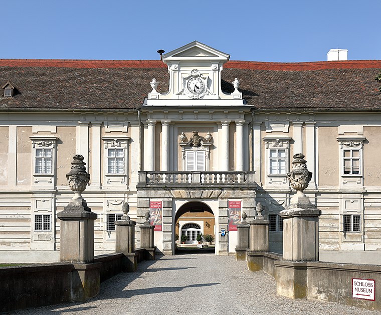
Photo: Bwag, CC BY-SA 4.0.
Rohrau is a village in the state of Lower Austria. The name comes from two German words: Rohr and Au. South of the village is a riparian forest and a swamp covered with reed. Rohrau is situated 4½ km northeast of Paintball Action Park Imbiss.
Höflein
Village
Höflein is a town in the district of Bruck an der Leitha in Lower Austria in Austria. Höflein is situated 5 km northwest of Paintball Action Park Imbiss.
Scharndorf
Village
Scharndorf is a town in the district of Bruck an der Leitha in Lower Austria in Austria. Scharndorf is situated 7 km north of Paintball Action Park Imbiss.
Paintball Action Park Imbiss
- Type: Fast food restaurant
- Categories: food and restaurant
- Location: Lower Austria, Austria, Central Europe, Europe
- View on OpenStreetMap
Latitude
48.03434° or 48° 2′ 4″ northLongitude
16.82413° or 16° 49′ 27″ eastOpen location code
8FWR2RMF+PMOpenStreetMap ID
node 3527172920OpenStreetMap feature
amenity=fast_food
This page is based on OpenStreetMap, Wikidata, and Wikimedia Commons.
We’d love your help improving our open data sources. Thank you for contributing.
Satellite Map
Discover Paintball Action Park Imbiss from above in high-definition satellite imagery.
Notable Places Nearby
Highlights include A1 Speedworld and Speedworld.
Nearby Places
Explore places such as Lake Side and Palmetshofer.
Lower Austria: Must-Visit Destinations
Delve into St. Pölten, Wiener Neustadt, Amstetten, and Klosterneuburg.
Curious Fast Food Restaurants to Discover
Uncover intriguing fast food restaurants from every corner of the globe.
About Mapcarta. Data © OpenStreetMap contributors and available under the Open Database License". Text is available under the CC BY-SA 4.0 license, except for photos, directions, and the map. Photo: Lonezor, CC BY-SA 3.0.