Boom
Boom is a work of art in Arnhem, Gelderland. Boom is situated nearby to the government office UWV, as well as near Jacks Casino.| Tap on a place to explore it |
Photo: FakirNL, CC BY-SA 4.0.
- Type: Work of art
- Artwork type: sculpture
- Description: artwork in public space by Ap Dekkers in Arnhem, the Netherlands
Places of Interest Nearby
Highlights include GelreDome and Ontvoering van Persephone.
GelreDome
Stadium

Photo: Wikimedia, CC BY-SA 3.0.
The GelreDome is a retractable roof and pitch football stadium in the city of Arnhem, Netherlands. Built from 1996 to 1998 at a cost equivalent to €75 million, it opened on 25 March 1998. GelreDome is situated 690 metres northwest of Boom.
Ontvoering van Persephone
Work of art

Photo: FakirNL, CC BY-SA 4.0.
Ontvoering van Persephone is a work of art, which is situated 400 metres west of Boom.
Rijnhal
Retail building
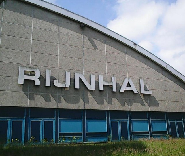
Photo: Sjaakpeppel, CC BY-SA 4.0.
Rijnhal is a 5,000-capacity indoor arena located in Arnhem, Netherlands. The arena opened in 1972 and is primarily used for sports and concerts. Past notable artists that have performed at Rijnhal include AC/DC, Bon Jovi, Alice Cooper, Scorpions and Aerosmith. Rijnhal is situated 510 metres north of Boom.
Places in the Area
Nearby places include Elden and Rijkerswoerd.
Elden
Hamlet
Elden is a village in the Dutch province of Gelderland. It is located in the municipality of Arnhem, about 4 km southwest of the city centre. Elden was a separate municipality between 1813 and 1818, when it was merged with Elst.
Rijkerswoerd
Quarter
Rijkerswoerd is a new city district in Arnhem, Netherlands, located in the southeastern part of the city between the 'Huissensedijk, A325 / Nijmeegseweg' and the community of Elst.
Rijkerswoerdse Plassen
Locality

Photo: Michielverbeek, CC BY-SA 3.0.
Rijkerswoerdse Plassen is a locality, which is situated 3 km southwest of Boom.
Boom
- Categories: sculpture and tourism
- Location: Arnhem, Gelderland, Eastern Netherlands, Netherlands, Benelux, Europe
- View on OpenStreetMap
Latitude
51.95874° or 51° 57′ 32″ northLongitude
5.90045° or 5° 54′ 2″ eastOpen location code
9F37XW52+F5OpenStreetMap ID
node 3545435781OpenStreetMap feature
tourism=artworkOpenStreetMap attribute
artwork_type=sculptureWikidata ID
Q125225693
This page is based on OpenStreetMap, Wikidata, and Wikimedia Commons.
We’d love your help improving our open data sources. Thank you for contributing.
Satellite Map
Discover Boom from above in high-definition satellite imagery.
In Other Languages
“Boom” goes by many names.
- Dutch: “Boom”
Places with the Same Name
Discover other places named “Boom”.
Notable Places Nearby
Highlights include UWV and Jacks Casino.
Nearby Places
Explore places such as Rijnpoort and SHO-Unilabs.
Gelderland: Must-Visit Destinations
Delve into Nijmegen, Apeldoorn, Ede, and Zutphen.
Curious Work Of Arts to Discover
Uncover intriguing work of arts from every corner of the globe.
About Mapcarta. Data © OpenStreetMap contributors and available under the Open Database License". Text is available under the CC BY-SA 4.0 license, except for photos, directions, and the map. Photo: FakirNL, CC BY-SA 4.0.