Total Petrol
Total Petrol is a gas station in Paphos district, Cyprus. Total Petrol is situated nearby to the village Tremithousa, as well as near the government office Mesoyi Council.| Tap on a place to explore it |
Places of Interest Nearby
Highlights include Agios Neophytos Monastery and Paphos General Hospital.
Agios Neophytos Monastery
Monastery

Photo: Nikodem Nijaki, CC BY-SA 3.0.
Saint Neophytos Monastery lies in the territory of the community of Tala, 1 km north of the village, and 15 km west of Paphos, is one of the best-known monasteries in Cyprus. Agios Neophytos Monastery is situated 3 km north of Total Petrol.
Paphos General Hospital
Hospital
Paphos General Hospital is the Paphos district's main medical centre. With four stories and 25,000 square metres this pyramid shaped hospital is designed to offer to patients first aid to MRI Scans. Paphos General Hospital is situated 3½ km south of Total Petrol.
Panagia Chryseleousa, Emba
Church

Photo: Chris06, CC BY-SA 4.0.
Panagia Chryseleousa, Emba is a church, which is situated 3 km southwest of Total Petrol.
Places in the Area
Nearby places include Tremithousa and Mesogi.
Tremithousa
Village
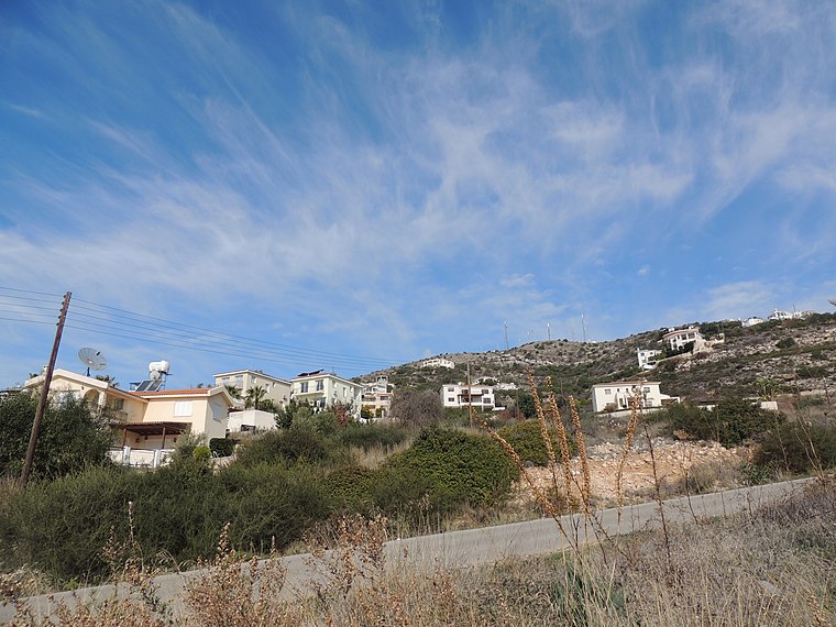
Photo: greglaskiewicz, CC BY 3.0.
Tremithousa is a village in the Paphos District of Cyprus, located 7 km north of Paphos. Tremithousa is located 294 m above sea level. Tremithousa is located near Mesa Chorio and Mesogi Village.
Mesogi
Village
Mesogi is a village in the Paphos District of Cyprus, located 5 km north of Paphos. It is located 306 m above sea level. It receives approximately 540 millimetres of rainfall annually.
Mesa Chorio
Village
Mesa Chorio is a village in the Paphos District of Cyprus, located 1 km east of Mesogi.
Total Petrol
- Type: Gas station
- Category: transportation
- Location: Paphos district, Cyprus, Middle East, Asia
- View on OpenStreetMap
Latitude
34.81938° or 34° 49′ 10″ northLongitude
32.45212° or 32° 27′ 8″ eastBrand
TotalEnergiesOpen location code
8G6JRF92+QROpenStreetMap ID
node 3558608701OpenStreetMap feature
amenity=fuel
This page is based on OpenStreetMap, Wikidata, and Wikimedia Commons.
We’d love your help improving our open data sources. Thank you for contributing.
Satellite Map
Discover Total Petrol from above in high-definition satellite imagery.
Places with the Same Name
Discover other places named “Total Petrol”.
Notable Places Nearby
Highlights include Mesoyi Council and Ayios Georgios.
Nearby Places
Explore places such as DiY and Acropolis.
Paphos district: Must-Visit Destinations
Delve into Paphos, Tala, and Avakas Gorge.
Curious Gas Stations to Discover
Uncover intriguing gas stations from every corner of the globe.
About Mapcarta. Data © OpenStreetMap contributors and available under the Open Database License". Text is available under the CC BY-SA 4.0 license, except for photos, directions, and the map. Photo: Wikimedia, CC0.