Dis-used Douglas Airfield
Dis-used Douglas Airfield is an aerodrome in Siyancuma Local Municipality, Pixley ka Seme District Municipality, Northern Cape. Dis-used Douglas Airfield is situated nearby to the suburb Phelindaba, as well as near the locality Villeria.| Tap on a place to explore it |
Places in the Area
Nearby places include Douglas.
Douglas
Town
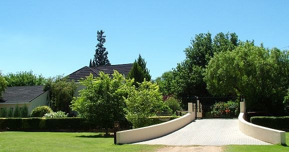
Photo: Wikimedia, CC BY-SA 3.0.
Douglas is an agricultural and stock farming town situated near the confluence of the Orange and Vaal Rivers in the Northern Cape province of South Africa.
Dis-used Douglas Airfield
- Type: Aerodrome
- Category: transportation
- Location: Siyancuma Local Municipality, Pixley ka Seme District Municipality, Northern Cape, South Africa, Southern Africa, Africa
- View on OpenStreetMap
Latitude
-29.0761° or 29° 4′ 34″ southLongitude
23.767° or 23° 46′ 1″ eastOpen location code
5G25WQF8+GROpenStreetMap ID
node 355928178OpenStreetMap feature
aeroway=aerodrome
This page is based on OpenStreetMap, Wikidata, and Wikimedia Commons.
We’d love your help improving our open data sources. Thank you for contributing.
Satellite Map
Discover Dis-used Douglas Airfield from above in high-definition satellite imagery.
Localities in the Area
Explore places such as Phelindaba and Villeria.
Notable Places Nearby
Highlights include Douglas and Douglas Public Library.
Northern Cape: Must-Visit Destinations
Delve into Kimberley, Orania, Upington, and Kuruman.
Curious Aerodromes to Discover
Uncover intriguing aerodromes from every corner of the globe.
About Mapcarta. Data © OpenStreetMap contributors and available under the Open Database License". Text is available under the CC BY-SA 4.0 license, except for photos, directions, and the map. Photo: Amrum, CC BY 3.0.