Direction de l’Assainissement du Controle et Pollution et Nuance
Direction de l’Assainissement du Controle et Pollution et Nuance is a government office in Bamako, Koulikoro. Direction de l’Assainissement du Controle et Pollution et Nuance is situated nearby to the shopping center Galerie Sunjata Créations, as well as near the government office Ovis DISTRIBUTION.| Tap on a place to explore it |
Places of Interest Nearby
Highlights include Embassy of Ghana and Embassy of the United States.
Embassy of Ghana
Government office
The Embassy of Ghana in Bamako is the diplomatic mission of the Republic of Ghana to Mali. It also serves as the official residence of the Ghana ambassador to Mali. Embassy of Ghana is situated 140 metres north of Direction de l’Assainissement du Controle et Pollution et Nuance.
Embassy of the United States
Government office
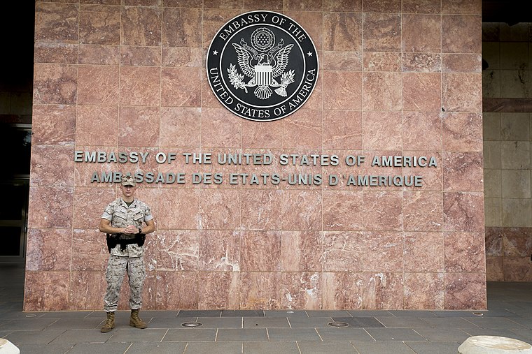
Photo: Diplomatic Security Service, Public domain.
Embassy of the United States is a government office, which is situated 1½ km east of Direction de l’Assainissement du Controle et Pollution et Nuance.
Abdoul Karim Camara
Work of art

Photo: Rgaudin, Public domain.
Abdoul Karim Camara is a work of art, which is situated 1 km northwest of Direction de l’Assainissement du Controle et Pollution et Nuance.
Direction de l’Assainissement du Controle et Pollution et Nuance
- Type: Government office
- Categories: office and government building
- Location: Bamako, Koulikoro, Mali, Sahel, Africa
- View on OpenStreetMap
Latitude
12.63267° or 12° 37′ 58″ northLongitude
-8.0331° or 8° 1′ 59″ westOpen location code
7C4HJXM8+3QOpenStreetMap ID
node 3592380824OpenStreetMap feature
office=government
This page is based on OpenStreetMap, Wikidata, and Wikimedia Commons.
We’d love your help improving our open data sources. Thank you for contributing.
Satellite Map
Discover Direction de l’Assainissement du Controle et Pollution et Nuance from above in high-definition satellite imagery.
Notable Places Nearby
Highlights include Galerie Sunjata Créations and Ovis DISTRIBUTION.
Nearby Places
Explore places such as Timbuctours and Observation des Elections et la Bonne Gouvernance.
Curious Government Offices to Discover
Uncover intriguing government offices from every corner of the globe.
About Mapcarta. Data © OpenStreetMap contributors and available under the Open Database License". Text is available under the CC BY-SA 4.0 license, except for photos, directions, and the map. Photo: Rgaudin, Public domain.