l’Amargant
l’Amargant is a farm in Sant Antoni de Vilamajor, Barcelona, Catalonia. l’Amargant is situated nearby to the school Escola Joan Casas, as well as near the fire station Parc de Bombers Voluntaris de Sant Antoni de Vilamajor.| Tap on a place to explore it |
Places of Interest Nearby
Highlights include Can Riera and Can Gol de la Torre.
Can Riera
Farmhouse

Photo: Antoni Gallardo i Garriga, Public domain.
Can Riera is a farmhouse, which is situated 670 metres southwest of l’Amargant.
Can Gol de la Torre
Farmhouse

Photo: Amadalvarez, CC BY-SA 4.0.
Can Gol de la Torre is a farmhouse, which is situated 1 km west of l’Amargant.
Can Pungol
Farmhouse

Photo: Amadalvarez, CC BY-SA 4.0.
Can Pungol is a farmhouse, which is situated 1 km west of l’Amargant.
Places in the Area
Nearby places include Sant Pere de Vilamajor and Llinars del Vallès.
Sant Pere de Vilamajor
Village

Photo: Orila872, Public domain.
Sant Pere de Vilamajor is a village in the province of Barcelona and autonomous community of Catalonia, Spain. The municipality covers an area of 13.8 square kilometres and the population in 2014 was 4,248.
Llinars del Vallès
Village
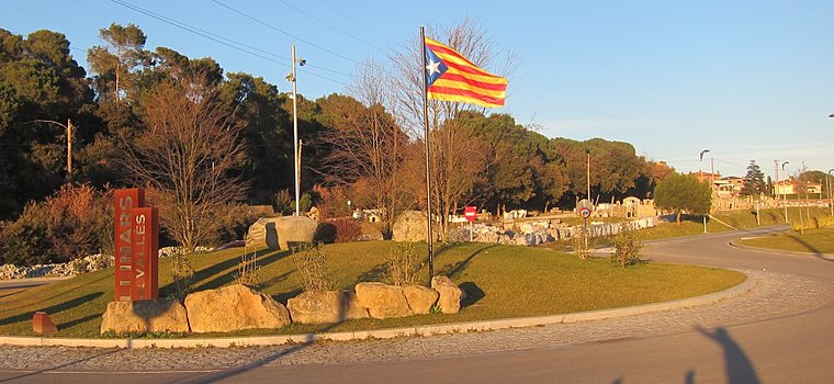
Photo: Oriol20, CC BY-SA 3.0.
Llinars del Vallès is a village and a municipality in the comarca of Vallès Oriental, in the province of Barcelona and autonomous community of Catalonia, Spain. Llinars del Vallès is situated 3 km south of l’Amargant.
Vallserena
Neighborhood

Photo: Orila872, Public domain.
Vallserena is a neighborhood, which is situated 3 km north of l’Amargant.
l’Amargant
- Type: Farm
- Categories: locality and agriculture
- Location: Sant Antoni de Vilamajor, Barcelona, Catalonia, Eastern Spain, Spain, Iberia, Europe
- View on OpenStreetMap
Latitude
41.66419° or 41° 39′ 51″ northLongitude
2.39718° or 2° 23′ 50″ eastOpen location code
8FH4M97W+MVOpenStreetMap ID
node 3645246888OpenStreetMap feature
place=farm
This page is based on OpenStreetMap, Wikidata, and Wikimedia Commons.
We’d love your help improving our open data sources. Thank you for contributing.
Satellite Map
Discover l’Amargant from above in high-definition satellite imagery.
In Other Languages
“l’Amargant” goes by many names.
- Catalan: “l’Amargant”
Places with the Same Name
Discover other places named “l’Amargant”.
Notable Places Nearby
Highlights include Escola Joan Casas and Parc de Bombers Voluntaris de Sant Antoni de Vilamajor.
Nearby Places
Explore places such as Can Pau Lari and Can Tonal de Vallbona.
Barcelona: Must-Visit Destinations
Delve into Barcelona, Malgrat de Mar, Terrassa, and Badalona.
Curious Farms to Discover
Uncover intriguing farms from every corner of the globe.
About Mapcarta. Data © OpenStreetMap contributors and available under the Open Database License". Text is available under the CC BY-SA 4.0 license, except for photos, directions, and the map. Photo: Alex Micheu Photography, CC BY-SA 3.0.