Elgin Market
Elgin Market is a convenience store in Westminster, Greater London, England which is located on Elgin Avenue. Elgin Market is situated nearby to the railway station Maida Vale, as well as near Bowls and Tennis Pavilion.| Tap on a place to explore it |
Places of Interest Nearby
Highlights include Maida Vale tube station and Lauderdale Road synagogue.
Maida Vale tube station
Metro station

Photo: Wikimedia, Public domain.
Maida Vale is a London Underground station in Maida Vale, north-west London. It is on the Bakerloo line between Kilburn Park and Warwick Avenue stations, and is located in London fare zone 2. Maida Vale tube station is situated 360 feet southwest of Elgin Market.
Lauderdale Road synagogue
Synagogue

Photo: Ham, CC BY-SA 3.0.
The Lauderdale Road Spanish & Portuguese Synagogue, more commonly called the Lauderdale Road Synagogue, is an Orthodox Jewish congregation and synagogue, located in Maida Vale on Lauderdale Road in the City of Westminster, West London, England, in the United Kingdom. Lauderdale Road synagogue is situated 970 feet south of Elgin Market.
St Mark’s, Hamilton Terrace
Church

Photo: AndyScott, CC BY-SA 4.0.
St Mark's Church, Hamilton Terrace, is an Anglican church in the St John's Wood neighbourhood of the City of Westminster, London. The building was completed by 1847 and was badly damaged in an unexplained fire on 26 January 2023. St Mark’s, Hamilton Terrace is situated 800 feet northeast of Elgin Market.
Places in the Area
Nearby places include Maida Hill and St John’s Wood.
Maida Hill
Suburb
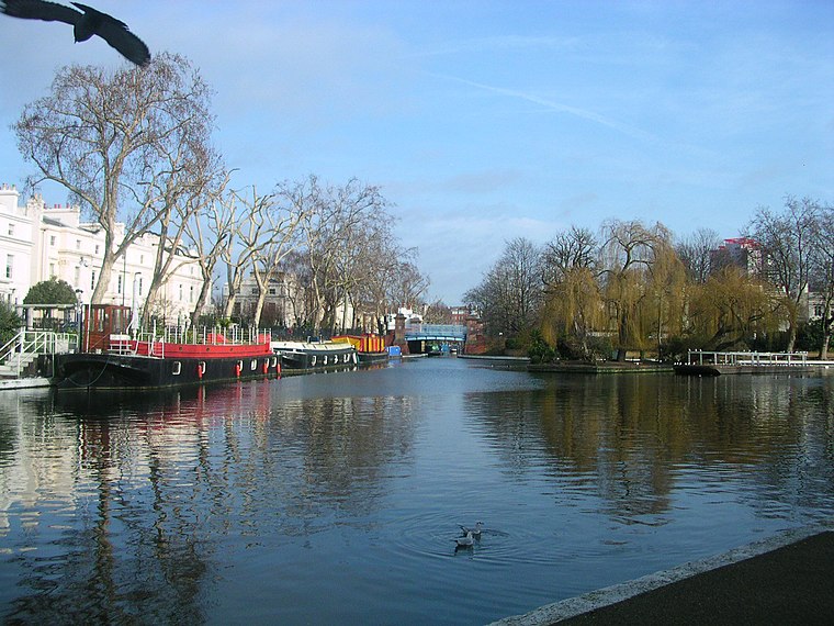
Photo: Charlesdrakew, Public domain.
Maida Vale is an affluent residential district in Central London, England, north of Paddington, southwest of St John's Wood and south of Kilburn, on Edgware Road.
St John’s Wood
Suburb
Photo: Xakaxunknownx, CC BY-SA 2.5.
St John's Wood is a district in the City of Westminster, London, England, about 2.5 miles northwest of Charing Cross. Historically the northern part of the ancient parish and Metropolitan Borough of Marylebone, it extends from Regent's Park and Primrose Hill in the east to Edgware Road in the west, with the Swiss Cottage area of Hampstead to the north and Lisson Grove to the south.
Alexandra Road Estate
Neighborhood
 The Alexandra Road estate is a housing estate in the London Borough of Camden, North London, England. It was designed in a brutalist style in 1968 by Neave Brown of Camden Council's Architects Department.
Elgin Market
- Type: Convenience store
- Address: 320-322 Elgin Avenue
- Categories: shop and food
- Location: Westminster, Greater London, London, England, United Kingdom, Britain and Ireland, Europe
- View on OpenStreetMap
Latitude
51.53042° or 51° 31′ 50″ northLongitude
-0.18455° or 0° 11′ 4″ westOpen location code
9C3XGRJ8+55OpenStreetMap ID
node 3652482627OpenStreetMap feature
shop=convenience
This page is based on OpenStreetMap, Wikidata, and Wikimedia Commons.
We’d love your help improving our open data sources. Thank you for contributing.
Satellite Map
Discover Elgin Market from above in high-definition satellite imagery.
Notable Places Nearby
Highlights include Maida Vale and Bowls and Tennis Pavilion.
Nearby Places
Explore places such as Jadsons Trading and Hamilton Court.
London: Must-Visit Destinations
Delve into South Kensington-Chelsea, Heathrow Airport, City of London, and South London.
Curious Convenience Stores to Discover
Uncover intriguing convenience stores from every corner of the globe.
About Mapcarta. Data © OpenStreetMap contributors and available under the Open Database License". Text is available under the CC BY-SA 4.0 license, except for photos, directions, and the map. Photo: Pablo BM, CC BY 2.0.