Victoria Station
Victoria Station is a taxicab stand in Westminster, Greater London, England. Victoria Station is situated nearby to Tourist Services, as well as near Victoria bus station.| Tap on a place to explore it |
Places of Interest Nearby
Highlights include Leicester Square and London Victoria.
Leicester Square

Photo: Aurelien Guichard, CC BY-SA 2.0.
The area around Leicester Square, often called the West End, is the entertainment heart of London. The area also includes Chinatown, Piccadilly Circus and Trafalgar Square.
London Victoria
Railway station

Photo: Ewan Munro, CC BY-SA 2.0.
Victoria station, also known as London Victoria, is a central London railway terminus and connected London Underground station in Victoria, in the City of Westminster, managed by Network Rail. London Victoria is situated 440 feet south of Victoria Station.
Westminster Cathedral
Church
 Westminster Cathedral, officially the Metropolitan Cathedral of the Most Precious Blood, is the largest Catholic church in England and Wales. The shrine is dedicated to the Blood of Jesus Christ and is the seat of the Archbishop of Westminster. Westminster Cathedral is situated 1,100 feet east of Victoria Station.
Places in the Area
Nearby places include Victoria and Belgravia.
Victoria
Suburb
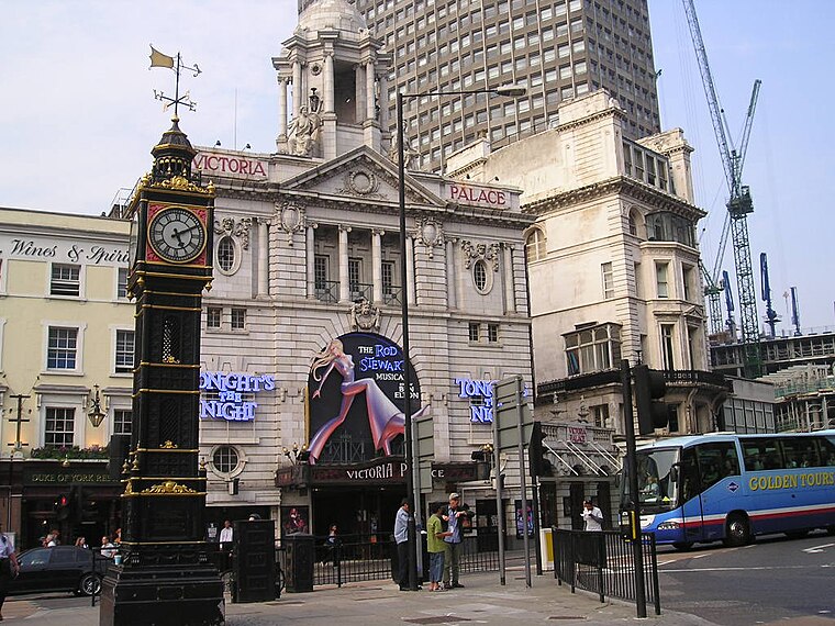
Photo: Wikimedia, Public domain.
Victoria is an area of Westminster, Central London in the City of Westminster. It is named after Victoria Station, which is a major transport hub. The station was named after the nearby Victoria Street, opened 1851.
Belgravia
Suburb
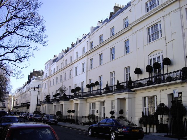
Photo: Paul Farmer, CC BY-SA 2.0.
Belgravia is a district in Central London, covering parts of the areas of the City of Westminster and the Royal Borough of Kensington and Chelsea. Belgravia was known as the 'Five Fields' during the Tudor Period, and became a dangerous place due to highwaymen and robberies.
Pimlico
Suburb

Photo: Ji-Elle, CC BY-SA 4.0.
Pimlico is a district in Central London, in the City of Westminster, built as a southern extension to neighbouring Belgravia. It is known for its garden squares and distinctive Regency architecture.
Victoria Station
- Opening hours: 24/7
- Type: Taxicab stand
- Category: transportation
- Location: Westminster, Greater London, London, England, United Kingdom, Britain and Ireland, Europe
- View on OpenStreetMap
Latitude
51.49594° or 51° 29′ 45″ northLongitude
-0.14448° or 0° 8′ 40″ westOpen location code
9C3XFVW4+96OpenStreetMap ID
node 3668294890OpenStreetMap feature
amenity=taxi
This page is based on OpenStreetMap, Wikidata, and Wikimedia Commons.
We’d love your help improving our open data sources. Thank you for contributing.
Satellite Map
Discover Victoria Station from above in high-definition satellite imagery.
Places with the Same Name
Discover other places named “Victoria Station”.
Notable Places Nearby
Highlights include Victoria bus station and Tourist Services.
Nearby Places
Explore places such as Starbucks and The Pasty Shop.
London: Must-Visit Destinations
Delve into South Kensington-Chelsea, Heathrow Airport, City of London, and South London.
Curious Taxicab Stands to Discover
Uncover intriguing taxicab stands from every corner of the globe.
About Mapcarta. Data © OpenStreetMap contributors and available under the Open Database License". Text is available under the CC BY-SA 4.0 license, except for photos, directions, and the map. Photo: Pablo BM, CC BY 2.0.