Ay si voy
Ay si voy is a café in Alicante, Costa Blanca, Valencian Community. Ay si voy is situated nearby to the park plaza Alcalde Gabriel Molina, as well as near plaza Hort dels Lleons.| Tap on a place to explore it |
Places of Interest Nearby
Highlights include Lo Torrent Park and San Vicente Centro railway station.

San Vicente Centro railway station
Railway stop
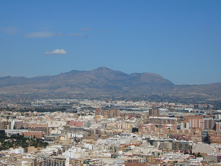
 San Vicente Centro railway station is a railway stop, which is situated 1 km west of Ay si voy.
Col·legi d’Educació Infantil i Primària Juan Ramón Jiménez
School

Photo: Mentxuwiki, CC BY-SA 4.0.
Col·legi d’Educació Infantil i Primària Juan Ramón Jiménez is a school, which is situated 750 metres southwest of Ay si voy.
Places in the Area
Nearby places include Sant Vicent del Raspeig/San Vicente del Raspeig and Villafranqueza.
Sant Vicent del Raspeig/San Vicente del Raspeig
Town
 Sant Vicent del Raspeig or San Vicente del Raspeig, or simply Sant Vicent / San Vicente, is a municipality located in the comarca of Alacantí, in the province of Alicante, Spain, inside the conurbation of Alicante city.
Villafranqueza
Suburb

Photo: RayRMC, CC BY-SA 4.0.
Villafranqueza is a suburb, which is situated 2½ km east of Ay si voy.
Ciudad Elegida
Neighborhood

Photo: RayRMC, CC BY-SA 4.0.
Ciudad Elegida is a neighborhood, which is situated 4½ km southeast of Ay si voy.
Ay si voy
- Type: Café
- Location: Alicante, Costa Blanca, Alicante, Valencian Community, Eastern Spain, Spain, Iberia, Europe
- View on OpenStreetMap
Latitude
38.39592° or 38° 23′ 45″ northLongitude
-0.51742° or 0° 31′ 3″ westOpen location code
8CCX9FWM+92OpenStreetMap ID
node 3676190775OpenStreetMap feature
amenity=cafe
This page is based on OpenStreetMap, Wikidata, and Wikimedia Commons.
We’d love your help improving our open data sources. Thank you for contributing.
Satellite Map
Discover Ay si voy from above in high-definition satellite imagery.
Notable Places Nearby
Highlights include plaza Alcalde Gabriel Molina and plaza Hort dels Lleons.
Nearby Places
Explore places such as Clínica dental Fernando Báguena and Los Casanueva.
Costa Blanca: Must-Visit Destinations
Delve into Elche, Benidorm, Torrevieja, and Dénia.
Curious Cafés to Discover
Uncover intriguing cafés from every corner of the globe.
About Mapcarta. Data © OpenStreetMap contributors and available under the Open Database License". Text is available under the CC BY-SA 4.0 license, except for photos, directions, and the map. Photo: sergiomas, CC BY 2.0.