Hit Gyülekezete Salgótarján
Hit Gyülekezete Salgótarján is a church in Nógrád County, Northern Hungary. Hit Gyülekezete Salgótarján is situated nearby to the school Uzoni Péter Gimnázium és Általános Iskola, as well as near Zagyvapálfalva railway station.| Tap on a place to explore it |
Places of Interest Nearby
Highlights include Zagyvapálfalva railway station and Salgótarján külső railway station.
Zagyvapálfalva railway station
Railway station

Photo: Globetrotter19, CC BY-SA 3.0.
Zagyvapálfalva railway station is situated 360 metres north of Hit Gyülekezete Salgótarján.
Salgótarján külső railway station
Railway station

Photo: Rakás, CC BY-SA 4.0.
Salgótarján külső railway station is situated 3 km north of Hit Gyülekezete Salgótarján.
Places in the Area
Nearby places include Salgótarján and Kisterenye.
Salgótarján

Photo: Packa, CC BY-SA 2.5.
Salgótarján is the county seat and largest city in Nógrád county, Hungary. Once a small mining town, the city was built in a very modern communist style, leaving much to be desired in terms of classical architecture.
Kisterenye
Suburb
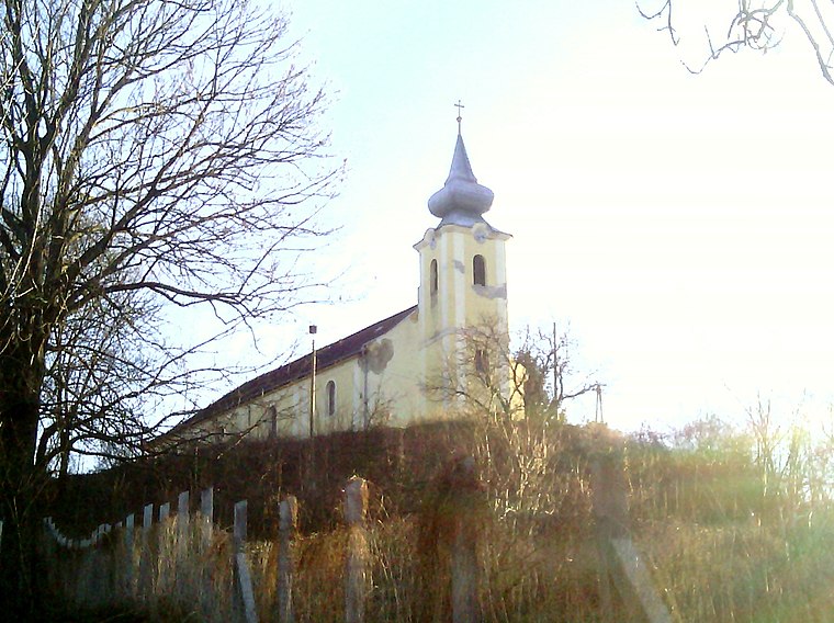
Photo: Rakás, CC BY-SA 4.0.
Kisterenye is a suburb, which is situated 6 km southeast of Hit Gyülekezete Salgótarján.
Bátonyterenye

Photo: Wikimedia, CC BY-SA 2.5.
Bátonyterenye is a town in Nógrád County, Hungary, under the Mátra mountain range, beside the Zagyva river. As of 2022 census, it has a population of 11,296.
Hit Gyülekezete Salgótarján
- Type: Church
- Denomination: Pentecostal
- Categories: place of worship and religion
- Location: Nógrád County, Northern Hungary, Hungary, Central Europe, Europe
- View on OpenStreetMap
Latitude
48.06451° or 48° 3′ 52″ northLongitude
19.78664° or 19° 47′ 12″ eastOpen location code
8FWX3Q7P+RMOpenStreetMap ID
node 3677892416OpenStreetMap feature
amenity=place_of_worshipOpenStreetMap attribute
denomination=pentecostal
This page is based on OpenStreetMap, Wikidata, and Wikimedia Commons.
We’d love your help improving our open data sources. Thank you for contributing.
Satellite Map
Discover Hit Gyülekezete Salgótarján from above in high-definition satellite imagery.
Notable Places Nearby
Highlights include Uzoni Péter Gimnázium és Általános Iskola and Jézus Szíve templom.
Nearby Places
Explore places such as Zagyvapálfalva, vasútállomás bejárati út and Uzoni iskola.
Nógrád County: Must-Visit Destinations
Delve into Salgótarján, Hollókő, Balassagyarmat, and Szécsény.
Curious Churches to Discover
Uncover intriguing churches from every corner of the globe.
About Mapcarta. Data © OpenStreetMap contributors and available under the Open Database License". Text is available under the CC BY-SA 4.0 license, except for photos, directions, and the map. Photo: Pe-Jo, CC BY-SA 3.0.