East Bank Farm Cottages
East Bank Farm Cottages is a dwelling in Sunk Island, East Yorkshire, England. East Bank Farm Cottages is situated nearby to the village Patrington Haven, as well as near the forest Omascreek Plantation.| Tap on a place to explore it |
Places of Interest Nearby
Highlights include Church of the Holy Trinity.
Church of the Holy Trinity
Church

Photo: Paul Glazzard, CC BY-SA 2.0.
Church of the Holy Trinity is situated 2 miles west of East Bank Farm Cottages.
Places in the Area
Nearby places include Patrington Haven and Patrington.
Patrington Haven
Village
Photo: Patrington Haven, Public domain.
Patrington Haven is a hamlet in the East Riding of Yorkshire, England, in an area known as Holderness. It is situated approximately 8 miles south-east of the town of Hedon and 1 mile south-west of the village of Patrington. Patrington Haven is situated 2 miles north of East Bank Farm Cottages.
Patrington
Village

Photo: Keith D, CC BY-SA 3.0.
Patrington is a large village and civil parish in the East Riding of Yorkshire, England, in an area known as Holderness, 9 miles south-east of Hedon, 16 miles south-east of Kingston upon Hull and 4 miles south-west of Withernsea on the A1033. Patrington is situated 3 miles northeast of East Bank Farm Cottages.
Weeton
Hamlet
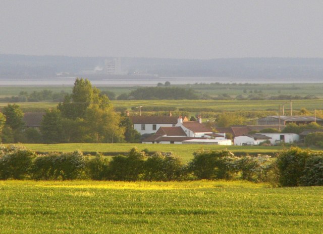
Photo: James F Robinson, CC BY-SA 2.0.
Weeton is a hamlet in the East Riding of Yorkshire, England, in an area known as Holderness. It is situated approximately 1 mile south-east of the village of Welwick on the B1445 road from Patrington to Easington. It forms part of the civil parish of Welwick. Weeton is situated 4 miles east of East Bank Farm Cottages.
East Bank Farm Cottages
- Type: Dwelling
- Categories: locality, residential building, and building
- Location: Sunk Island, East Yorkshire, Yorkshire, England, United Kingdom, Britain and Ireland, Europe
- View on OpenStreetMap
Latitude
53.64384° or 53° 38′ 38″ northLongitude
-0.04019° or 0° 2′ 25″ westOpen location code
9C5XJXV5+GWOpenStreetMap ID
node 3693253122OpenStreetMap feature
place=isolated_dwelling
This page is based on OpenStreetMap, Wikidata, and Wikimedia Commons.
We’d love your help improving our open data sources. Thank you for contributing.
Satellite Map
Discover East Bank Farm Cottages from above in high-definition satellite imagery.
Places with the Same Name
Discover other places named “East Bank Farm Cottages”.
Notable Places Nearby
Highlights include Sunk Island Village Hall and Omascreek Plantation.
Nearby Places
Explore places such as East Bank Farm Cottages and East Bank Farm Cottage.
East Yorkshire: Must-Visit Destinations
Delve into Kingston upon Hull, Beverley, Bridlington, and Hornsea.
Curious Dwellings to Discover
Uncover intriguing dwellings from every corner of the globe.
About Mapcarta. Data © OpenStreetMap contributors and available under the Open Database License". Text is available under the CC BY-SA 4.0 license, except for photos, directions, and the map. Photo: AlasdairW, CC BY-SA 3.0.