2x Mit tisch
2x Mit tisch is a picnic site in Manubach, Mainz-Bingen, Rhineland-Palatinate. 2x Mit tisch is situated nearby to the scenic viewpoint Fürstenbergblick, as well as near the peak Steinriegels.| Tap on a place to explore it |
Places of Interest Nearby
Highlights include Kreuzkapelle and Fürstenberg Castle.
Kreuzkapelle
Chapel

Photo: Enbodenumer, CC BY-SA 3.0 de.
Kreuzkapelle is a chapel, which is situated 1 km east of 2x Mit tisch.
Fürstenberg Castle
Castle
 The Burg Fürstenberg is a castle in the municipality of Oberdiebach in Rhineland-Palatinate, Germany. When the castle was built, in 1219, this part of the small Oberdiebach was the village of Rheindiebach. Fürstenberg Castle is situated 3 km northeast of 2x Mit tisch.
Heimburg in Niederheimbach
Castle
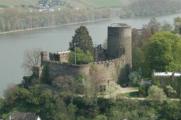
Photo: Peter Weller, CC BY-SA 3.0.
The Heimburg is a castle in the village of Niederheimbach in Rhineland-Palatinate, Germany. Heimburg in Niederheimbach is situated 3 km northeast of 2x Mit tisch.
Places in the Area
Nearby places include Oberheimbach and Oberdiebach.
Oberheimbach
Village
Oberheimbach is an Ortsgemeinde – a municipality belonging to a Verbandsgemeinde, a kind of collective municipality – in the Mainz-Bingen district in Rhineland-Palatinate, Germany. The inhabitants of this small place are known colloquially as Uhlen.
Oberdiebach
Village
Photo: Wikimedia, CC BY-SA 4.0.
Oberdiebach is an Ortsgemeinde – a municipality belonging to a Verbandsgemeinde, a kind of collective municipality – in the Mainz-Bingen district in Rhineland-Palatinate, Germany.
Medenscheid
Village

Photo: Wikimedia, CC BY-SA 4.0.
Medenscheid is a village, which is situated 2½ km north of 2x Mit tisch.
2x Mit tisch
- Type: Picnic site
- Category: tourism
- Location: Manubach, Mainz-Bingen, Rhineland-Palatinate, Germany, Central Europe, Europe
- View on OpenStreetMap
Latitude
50.02148° or 50° 1′ 17″ northLongitude
7.76403° or 7° 45′ 51″ eastOpen location code
9F292QC7+HJOpenStreetMap ID
node 3699504906OpenStreetMap feature
amenity=benchOpenStreetMap feature
tourism=picnic_site
This page is based on OpenStreetMap, Wikidata, and Wikimedia Commons.
We’d love your help improving our open data sources. Thank you for contributing.
Satellite Map
Discover 2x Mit tisch from above in high-definition satellite imagery.
Notable Places Nearby
Highlights include Fürstenbergblick and Steinriegels.
Nearby Places
Explore places such as Weiher-Quelle and Unterstand Exmoor-Pony.
Rhineland-Palatinate: Must-Visit Destinations
Delve into Mainz, Trier, Koblenz, and Worms.
Curious Picnic Sites to Discover
Uncover intriguing picnic sites from every corner of the globe.
About Mapcarta. Data © OpenStreetMap contributors and available under the Open Database License". Text is available under the CC BY-SA 4.0 license, except for photos, directions, and the map. Photo: Traveler100, CC BY-SA 3.0.