Löder
Löder is a hamlet in Krumbach, Wiener Neustadt District, Lower Austria. Löder is situated nearby to the village Unterhaus, as well as near the locality Bodenwald.| Tap on a place to explore it |
Places of Interest
Highlights include Bürgerspital and Erasmuskirche.
Bürgerspital
Historic building

Photo: Hundsstern, CC BY-SA 3.0 at.
Bürgerspital is a historic building.

FF Krumbach
Fire station

Photo: Bastian Puchegger, CC BY-SA 4.0.
FF Krumbach is a fire station, which is situated 2½ km northwest of Löder.
Places in the Area
Nearby places include Stuben and Dreihütten.
Stuben
Village
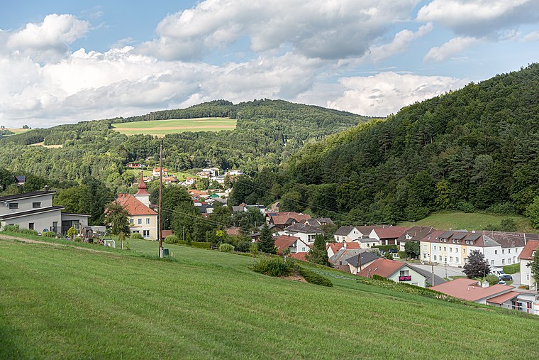
Photo: Tsui, CC BY-SA 4.0.
Stuben is a village, which is situated 9 km south of Löder.
Dreihütten
Village

Photo: Tsui, CC BY-SA 4.0.
Dreihütten is a village, which is situated 9 km south of Löder.
Redlschlag
Village

Photo: Steindy, CC BY-SA 2.0 de.
Redlschlag is a village, which is situated 9 km southeast of Löder.
Löder
- Type: Hamlet
- Category: locality
- Location: Krumbach, Wiener Neustadt District, Lower Austria, Austria, Central Europe, Europe
- View on OpenStreetMap
Latitude
47.50366° or 47° 30′ 13″ northLongitude
16.20542° or 16° 12′ 20″ eastOpen location code
8FVRG634+F5OpenStreetMap ID
node 3699662936OpenStreetMap feature
place=hamlet
This page is based on OpenStreetMap, Wikidata, and Wikimedia Commons.
We’d love your help improving our open data sources. Thank you for contributing.
Satellite Map
Discover Löder from above in high-definition satellite imagery.
Places with the Same Name
Discover other places named “Löder”.
Localities in the Area
Explore places such as Unterhaus and Unterhaus-Au.
Notable Places Nearby
Highlights include Glanzenriegel and Stickelberger-See Inselchen.
Lower Austria: Must-Visit Destinations
Delve into St. Pölten, Wiener Neustadt, Amstetten, and Klosterneuburg.
Curious Hamlets to Discover
Uncover intriguing hamlets from every corner of the globe.
About Mapcarta. Data © OpenStreetMap contributors and available under the Open Database License". Text is available under the CC BY-SA 4.0 license, except for photos, directions, and the map. Photo: Lonezor, CC BY-SA 3.0.