Porlock Library
Porlock Library is a bus stop in Porlock, West Somerset District, England. Porlock Library is situated nearby to Porlock Community Library, as well as near the pub The Ship Inn.| Tap on a place to explore it |
Places of Interest Nearby
Highlights include The Ship Inn and Church of St Dubricius, Porlock.
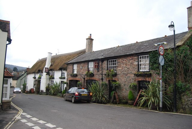
Church of St Dubricius, Porlock
Church

Photo: Martin Southwood, CC BY-SA 2.0.
The Church of St Dubricius in Porlock, Somerset, England dates from the 13th century. The church has been designated by English Heritage as a Grade I listed building. Church of St Dubricius, Porlock is situated 780 feet southeast of Porlock Library.
Dovery Manor Museum
Museum

Photo: Robert Edwards, CC BY-SA 2.0.
Dovery Manor Museum, also known as Porlock Museum, is a local museum in Porlock, Somerset, England. The building was built as a Manor house in the late 15th century and extended in the 17th century. Dovery Manor Museum is situated 1,300 feet east of Porlock Library.
Places in the Area
Nearby places include Bossington and Allerford.

Allerford
Village

Photo: Chris Downer, CC BY-SA 2.0.
Allerford is a village in the county of Somerset, England, located within Exmoor National Park, and is part of the parish of Selworthy. It appears in Domesday Book as "Alresford – forda Ralph de Limesy Mill".
Porlock Weir
Hamlet

Photo: Herbythyme, CC BY-SA 4.0.
Porlock Weir is a harbour settlement approximately 1.5 miles west of the inland village of Porlock, Somerset, England. "Porlock" comes from the Old English port loca, meaning an enclosure near a harbour.
Porlock Library
- Type: Bus stop
- Category: transportation
- Location: Porlock, West Somerset District, Somerset, West Country, England, United Kingdom, Britain and Ireland, Europe
- View on OpenStreetMap
Latitude
51.20926° or 51° 12′ 33″ northLongitude
-3.59862° or 3° 35′ 55″ westOpen location code
9C3R6C52+PHOpenStreetMap ID
node 3726263744OpenStreetMap feature
highway=bus_stopOpenStreetMap feature
public_transport=platform
This page is based on OpenStreetMap, Wikidata, and Wikimedia Commons.
We’d love your help improving our open data sources. Thank you for contributing.
Satellite Map
Discover Porlock Library from above in high-definition satellite imagery.
Notable Places Nearby
Highlights include Porlock Community Library and Porlock Phone Box Gallery.
Nearby Places
Explore places such as Porlock Visitor Centre and Sea View.
Somerset: Must-Visit Destinations
Delve into Bristol, Bath, Wells, and Taunton.
Curious Bus Stops to Discover
Uncover intriguing bus stops from every corner of the globe.
About Mapcarta. Data © OpenStreetMap contributors and available under the Open Database License". Text is available under the CC BY-SA 4.0 license, except for photos, directions, and the map. Photo: RobThinks, CC BY-SA 4.0.