Stöörinkankaan muistomerkki
Stöörinkankaan muistomerkki is a memorial in Kouvola, Kymenlaakso. Stöörinkankaan muistomerkki is situated nearby to the fire station Kuusankosken paloasema, as well as near the cemetery Kuusankosken vanha hautausmaa.| Tap on a place to explore it |
Places of Interest Nearby
Highlights include Kuusankosken jäähalli and Kuusankoski Church.
Kuusankosken jäähalli
Sports venue

Photo: MrFinland, CC BY-SA 3.0.
Kuusankosken jäähalli is a sports venue, which is situated 300 metres southwest of Stöörinkankaan muistomerkki.
Kuusankoski Church
Church

Photo: Niera, CC BY-SA 3.0.
Kuusankoski Church is situated 1¼ km southeast of Stöörinkankaan muistomerkki.
Kuusankoski plant
Power station
 Kuusankoski plant is a power station, which is situated 2½ km southeast of Stöörinkankaan muistomerkki.
Places in the Area
Nearby places include Kuusankoski and Nappa.
Kuusankoski
Town

Photo: Niera, CC BY-SA 3.0.
Kuusankoski is a neighbourhood of city of Kouvola, former industrial town and municipality of Finland, located in the region of Kymenlaakso in the province of Southern Finland.
Nappa
Suburb
Nappa is a village in northern Kymenlaakso. It emerged in mid-17th century arising from the residential area and is now part of Kouvola and has grown to more than a thousand inhabitants. Nappa is situated 7 km south of Stöörinkankaan muistomerkki.
Koria
Town
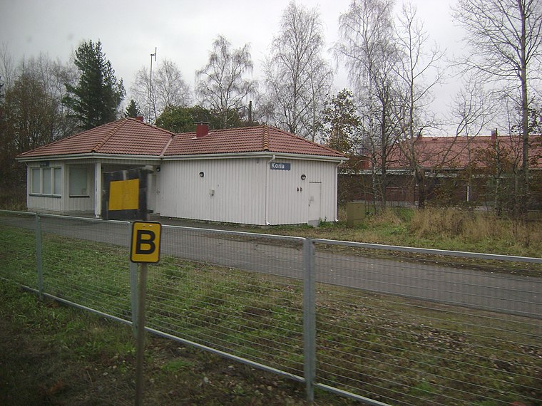
Photo: Junafani, CC BY-SA 3.0.
Koria is an unincorporated village in the region of Kymenlaakso, Finland. It is under the administration of the town of Kouvola. It is located on Finnish national road 6 6.7 kilometres west of the Kouvola centre and 129 kilometres from Helsinki. Koria is situated 8 km south of Stöörinkankaan muistomerkki.
Stöörinkankaan muistomerkki
- Type: Memorial
- Inscription: “Tällä paikalla Stöörinkankaalla teloitettiin vuoden 1918 sisällissodassa punaisten puolella olleita. Heitä ja muualla surmattuja sekä vankileireillä nälkään ja tauteihin kuolleita muistaen sekä jokaisen ihmisen ihmisarvoa kunnioittaen.”
- Category: historic site
- Location: Kouvola, Kouvola, Kymenlaakso, Southern Finland, Finland, Nordic countries, Europe
- View on OpenStreetMap
Latitude
60.918° or 60° 55′ 5″ northLongitude
26.61307° or 26° 36′ 47″ eastInception
June 18th, 2011Open location code
9GG8WJ97+66OpenStreetMap ID
node 3749162871OpenStreetMap feature
historic=memorial
This page is based on OpenStreetMap, Wikidata, and Wikimedia Commons.
We’d love your help improving our open data sources. Thank you for contributing.
Satellite Map
Discover Stöörinkankaan muistomerkki from above in high-definition satellite imagery.
Notable Places Nearby
Highlights include Kuusankosken paloasema and Kuusankosken vanha hautausmaa.
Nearby Places
Explore places such as Naukion koulu and Hyypiä Areena E.
Kymenlaakso: Must-Visit Destinations
Delve into Kotka, Hamina, Miehikkälä, and Pyhtää.
Curious Memorials to Discover
Uncover intriguing memorials from every corner of the globe.
About Mapcarta. Data © OpenStreetMap contributors and available under the Open Database License". Text is available under the CC BY-SA 4.0 license, except for photos, directions, and the map. Photo: Junafani, CC BY-SA 3.0.