Infernuko troka
Infernuko troka is a locality in Galdakao, Biscay, Basque Country. Infernuko troka is situated nearby to the locality Gurbiztroka, as well as near Mintegi.| Tap on a place to explore it |
Places of Interest
Highlights include Kuskuburu and Ganguren.


Ariz station
Railway station
 Ariz is a railway station in Basauri, Basque Country, Spain. It is owned by Euskal Trenbide Sarea and operated by Euskotren. It lies on the Bilbao–San Sebastián line.
Places in the Area
Nearby places include Etxebarri and Lezama.
Etxebarri
Town
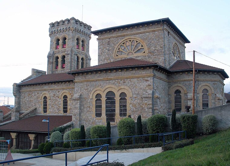
Photo: Zarateman, CC BY-SA 4.0.
Etxebarri, Doneztebeko Elizatea is a town and municipality located in the province of Biscay, in the Autonomous Basque Community, in the North of Spain. Etxebarri is situated 3 km west of Infernuko troka.
Lezama
Village

Photo: Wikimedia, Public domain.
Lezama is a town and municipality located in the province of Biscay, in the autonomous community of Basque Country, northern Spain. It is home to the training headquarters of the football team Athletic Bilbao, and is accessible by bus - BizkaiBus - from Bilbao. Lezama is situated 3 km northeast of Infernuko troka.
Legizamon
Neighborhood

Photo: Wikimedia, CC BY-SA 2.0.
Legizamon is a neighborhood, which is situated 3½ km west of Infernuko troka.
Infernuko troka
- Type: Locality
- Location: Galdakao, Biscay, Basque Country, Northern Spain, Spain, Iberia, Europe
- View on OpenStreetMap
Latitude
43.24986° or 43° 14′ 60″ northLongitude
-2.85314° or 2° 51′ 11″ westOpen location code
8CMV64XW+WPOpenStreetMap ID
node 3755533125OpenStreetMap feature
place=locality
This page is based on OpenStreetMap, Wikidata, and Wikimedia Commons.
We’d love your help improving our open data sources. Thank you for contributing.
Satellite Map
Discover Infernuko troka from above in high-definition satellite imagery.
Localities in the Area
Explore places such as Gurbiztroka and Mintegi.
Notable Places Nearby
Highlights include Azuela and Arantzelaiko urtegia.
Basque Country: Must-Visit Destinations
Delve into Bilbao, San Sebastián, Vitoria-Gasteiz, and Guernica.
Curious Localities to Discover
Uncover intriguing localities from every corner of the globe.
About Mapcarta. Data © OpenStreetMap contributors and available under the Open Database License". Text is available under the CC BY-SA 4.0 license, except for photos, directions, and the map. Photo: Ander Abadia Zallo, CC BY 4.0.