Энгельгардтовская
Энгельгардтовская is a railway station in Smolensk Oblast, Central Russia. Энгельгардтовская is situated nearby to the aerodrome Shatalovo.| Tap on a place to explore it |
Places of Interest Nearby
Highlights include Shatalovo.
Shatalovo
Aerodrome
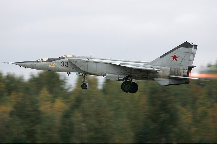 Shatalovo is an air base in Pochinok, Pochinkovsky District, Smolensk Oblast of the Russian Aerospace Forces. It was part of the 6th Air and Air Defence Forces Army, Western Military District.
Places in the Area
Nearby places include Pochinok.
Pochinok
Town

Photo: Blander1910, CC BY-SA 4.0.
Pochinok is a town and the administrative center of Pochinkovsky District in Smolensk Oblast, Russia, located on the Khmara River 62 kilometers southeast of Smolensk, the administrative center of the oblast. Population: 8,776 ; 9,578 ; 10,753 . Pochinok is situated 9 km northwest of Энгельгардтовская.
Энгельгардтовская
- Type: Railway station
- Description: railway station in Russia
- Category: transportation
- Location: Smolensk Oblast, Central Russia, Russia, Eastern Europe, Europe
- View on OpenStreetMap
Latitude
54.33401° or 54° 20′ 2″ northLongitude
32.50667° or 32° 30′ 24″ eastOperator
ОАО «РЖД»Open location code
9G6J8GM4+JMOpenStreetMap ID
node 3760733085OpenStreetMap feature
railway=stationWikidata ID
Q21645802
This page is based on OpenStreetMap, Wikidata, and Wikimedia Commons.
We’d love your help improving our open data sources. Thank you for contributing.
Satellite Map
Discover Энгельгардтовская from above in high-definition satellite imagery.
In Other Languages
From French to Russian—“Энгельгардтовская” goes by many names.
- French: “Engelhardtovskaïa”
- Polish: “Engielgardtowskaja (stacja kolejowa)”
- Polish: “Engielgardtowskaja”
- Russian: “Энгельгардтовская”
Notable Places Nearby
Highlights include Усадьба Энгельгардта and Администрация Шаталовского сельского поселения.
Nearby Places
Explore places such as Шаталовская музыкальная школа and Микей.
Curious Railway Stations to Discover
Uncover intriguing railway stations from every corner of the globe.
About Mapcarta. Data © OpenStreetMap contributors and available under the Open Database License". Text is available under the CC BY-SA 4.0 license, except for photos, directions, and the map. Photo: Kastey, CC BY-SA 3.0.