Der Lauenburger Rufer
Der Lauenburger Rufer is a work of art in Lauenburg/Elbe, District of Duchy of Lauenburg, Schleswig-Holstein. Der Lauenburger Rufer is situated nearby to the square Ruferplatz, as well as near the historic building Brau-und Brennhaus.| Tap on a place to explore it |
Photo: Wikimedia, CC BY-SA 2.0 de.
- Type: Work of art
- Artwork type: sculpture
- Description: sculpture in Lauenburg/Elbe, Germany
- Inscription: “700 Jahre lang haben der Strom und die Schiffahrt das Leben der Lauenburger geprägt. Unser Rufer ist das Symbol dafür. Ein Schiffer ruft zu einem vorbeifahrenden Elbschiff”
- Wheelchair access: no
Places of Interest Nearby
Highlights include Elbschifffahrtsmuseum and I am.
Elbschifffahrtsmuseum
Museum
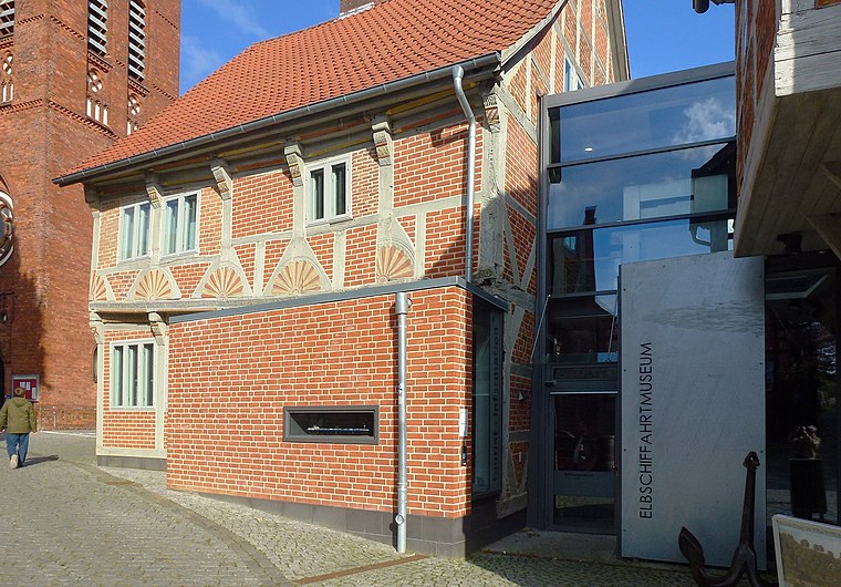
Photo: Holger.Ellgaard, CC BY-SA 4.0.
Elbschifffahrtsmuseum is situated 240 metres west of Der Lauenburger Rufer.


Places in the Area
Nearby places include Hohnstorf and Lauenburg.
Hohnstorf
Village
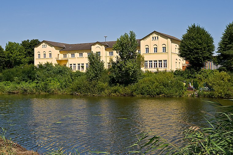
Photo: Torsten Bätge, CC BY-SA 3.0.
Hohnstorf is a municipality in the district of Lüneburg, in Lower Saxony, Germany.
Lauenburg
Town

Photo: Wikimedia, CC BY-SA 3.0.
Lauenburg, or Lauenburg an der Elbe, is a town in the state of Schleswig-Holstein, Germany. It is situated on the northern bank of the river Elbe, east of Hamburg.
Schnakenbek
Village
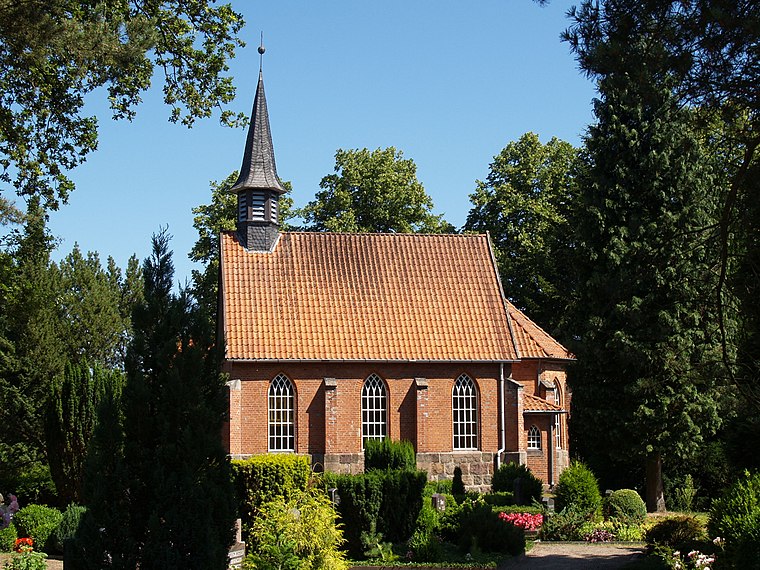
Photo: Matzematik, CC BY-SA 3.0.
Schnakenbek is a municipality in the district of Lauenburg, in Schleswig-Holstein, Germany. Schnakenbek is situated 4 km northwest of Der Lauenburger Rufer.
Der Lauenburger Rufer
- Categories: sculpture and tourism
- Location: Lauenburg/Elbe, District of Duchy of Lauenburg, Schleswig-Holstein, Germany, Central Europe, Europe
- View on OpenStreetMap
Latitude
53.37028° or 53° 22′ 13″ northLongitude
10.55644° or 10° 33′ 23″ eastInception
1959Open location code
9F5G9HC4+4HOpenStreetMap ID
node 3770147289OpenStreetMap feature
tourism=artworkOpenStreetMap attribute
artwork_type=sculptureOpenStreetMap attribute
wheelchair=noWikidata ID
Q1807342
This page is based on OpenStreetMap, Wikidata, and Wikimedia Commons.
We’d love your help improving our open data sources. Thank you for contributing.
Satellite Map
Discover Der Lauenburger Rufer from above in high-definition satellite imagery.
In Other Languages
“Der Lauenburger Rufer” goes by many names.
- German: “Der Lauenburger Rufer”
- German: “Lauenburger Rufer”
- German: “Rufer (Plastik)”
Notable Places Nearby
Highlights include Ruferplatz and Brau-und Brennhaus.
Nearby Places
Explore places such as Rufers Restaurant and Raddampfer Kaiser Wilhelm.
Schleswig-Holstein: Must-Visit Destinations
Delve into Kiel, Lübeck, Flensburg, and Heligoland.
Curious Work Of Arts to Discover
Uncover intriguing work of arts from every corner of the globe.
About Mapcarta. Data © OpenStreetMap contributors and available under the Open Database License". Text is available under the CC BY-SA 4.0 license, except for photos, directions, and the map. Photo: Wikimedia, CC BY-SA 2.0 de.