Jumping Point
Jumping Point is a recreation area in Quickborn, Pinneberg, Schleswig-Holstein which is located on Harksheider Weg. Jumping Point is situated nearby to the dog park Stadt Mensch Hund, as well as near the church Kapelle.| Tap on a place to explore it |
- Type: Recreation area
- Address: Harksheider Weg 226, Quickborn, 25451
- Wheelchair access: yes
Places of Interest Nearby
Highlights include Holmmoor and Elsen-See.


Maria – Hilfe der Christen
Church

Photo: Repat, CC BY-SA 3.0.
Maria – Hilfe der Christen is a church, which is situated 2 km west of Jumping Point.
Places in the Area
Nearby places include Quickborn and Norderstedt.
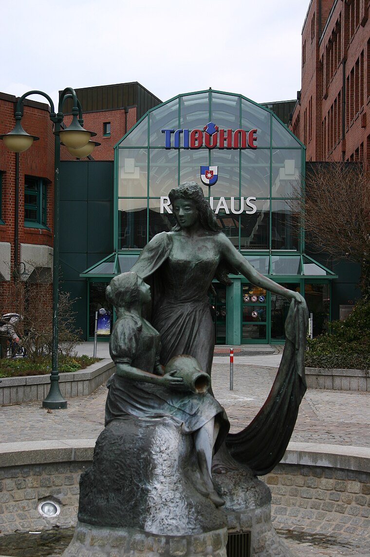
Quickborn
Town
 Quickborn is a town in the district of Pinneberg, in Schleswig-Holstein, Germany. It belongs to Metropolregion Hamburg and is located on the north part of Hamburg on Autobahn A7. It is a 700 year old town which also belonged to Denmark in the past.
Norderstedt
Town
 Norderstedt is a city in Germany and part of the Hamburg Metropolitan Region, the fourth largest city in the federal state of Schleswig-Holstein, belonging to the Segeberg district. Norderstedt is situated 4 km southeast of Jumping Point.
Bilsen
Village

Photo: flamenc, CC BY-SA 3.0.
Bilsen is a municipality in the district of Pinneberg, in Schleswig-Holstein, Germany. Bilsen is situated 6 km northwest of Jumping Point.
Jumping Point
- Categories: tourist attraction and tourism
- Location: Quickborn, Pinneberg, Schleswig-Holstein, Germany, Central Europe, Europe
- View on OpenStreetMap
Latitude
53.72461° or 53° 43′ 29″ northLongitude
9.9336° or 9° 56′ 1″ eastOpen location code
9F5FPWFM+RCOpenStreetMap ID
node 385315278OpenStreetMap feature
leisure=trampoline_parkOpenStreetMap attribute
wheelchair=yes
This page is based on OpenStreetMap, Wikidata, and Wikimedia Commons.
We’d love your help improving our open data sources. Thank you for contributing.
Satellite Map
Discover Jumping Point from above in high-definition satellite imagery.
Places with the Same Name
Discover other places named “Jumping Point”.
Notable Places Nearby
Highlights include Stadt Mensch Hund and Kapelle.
Nearby Places
Explore places such as Quickborn, Heidefriedhof and Quickborn, Heidefriedhof.
Schleswig-Holstein: Must-Visit Destinations
Delve into Kiel, Lübeck, Flensburg, and Heligoland.
Curious Recreation Areas to Discover
Uncover intriguing recreation areas from every corner of the globe.
About Mapcarta. Data © OpenStreetMap contributors and available under the Open Database License". Text is available under the CC BY-SA 4.0 license, except for photos, directions, and the map. Photo: Ypsilon from Finland, CC0.