PR17
PR17 is in Serra de Água, Ribeira Brava Municipality, Madeira. PR17 is situated nearby to the peak Pináculo, as well as near Redondo.| Tap on a place to explore it |
Places in the Area
Nearby places include Serra de Água and Eira do Mourão.
Serra de Água
Village
 Serra de Água is a civil parish in the municipality of Ribeira Brava on the Portuguese island of Madeira. The population in 2011 was 1,049, in an area of 24.16 km2.
Eira do Mourão
Hamlet
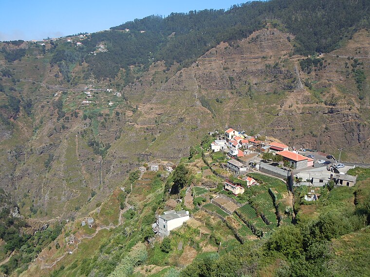
Photo: Patrice78500, CC BY-SA 4.0.
Eira do Mourão is a hamlet, which is situated 6 km south of PR17.
São Vicente
Town

Photo: Jongleur100, Public domain.
São Vicente is a municipality along the north-west coast of the island of Madeira. São Vicente is situated 7 km north of PR17.
PR17
- Type: Sign
- Categories: information and tourism
- Location: Serra de Água, Ribeira Brava Municipality, Madeira, Portugal, Iberia, Europe
- View on OpenStreetMap
Latitude
32.74275° or 32° 44′ 34″ northLongitude
-17.04474° or 17° 2′ 41″ westOpen location code
8C44PXV4+34OpenStreetMap ID
node 3887106749OpenStreetMap feature
tourism=information
This page is based on OpenStreetMap, Wikidata, and Wikimedia Commons.
We’d love your help improving our open data sources. Thank you for contributing.
Satellite Map
Discover PR17 from above in high-definition satellite imagery.
Places with the Same Name
Discover other places named “PR17”.
Notable Places Nearby
Highlights include PR17 and Pináculo.
Nearby Places
Explore places such as Casa Do Lombo do Mouro and abandoned structure.
Portugal: Must-Visit Destinations
Delve into Lisbon, Caldas da Rainha, Porto, and Coimbra.
Curious Places to Discover
Uncover intriguing places from every corner of the globe.
About Mapcarta. Data © OpenStreetMap contributors and available under the Open Database License". Text is available under the CC BY-SA 4.0 license, except for photos, directions, and the map. Photo: Lion10, CC BY-SA 4.0.