Chicken Time’s
Chicken Time’s is a fast food restaurant in Melun, Seine-et-Marne, Île-de-France. Chicken Time’s is situated nearby to Mosquée al Salam, as well as near the government office Office Français de l’Immigration et de l’Intégration OFII.| Tap on a place to explore it |
Places of Interest Nearby
Highlights include Melun station and Tribunal Judiciaire de Melun.
Melun station
Railway station
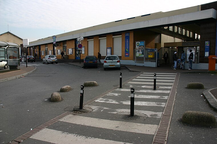
Photo: Wikimedia, CC BY-SA 3.0.
Melun station is a railway station in Melun, Seine-et-Marne, Paris, France. The station was opened on 3 January 1849 and is on the Paris–Marseille railway. Melun station is situated 640 metres east of Chicken Time’s.
Tribunal Judiciaire de Melun
Courthouse

Photo: Jehpuh, CC BY-SA 4.0.
Tribunal Judiciaire de Melun is a courthouse, which is situated 430 metres east of Chicken Time’s.
Pont du Mée
Bridge

Photo: Popolon, CC BY-SA 3.0.
Pont du Mée is a bridge, which is situated 1 km northwest of Chicken Time’s.
Places in the Area
Nearby places include Dammarie-lès-Lys and Le Mée-sur-Seine.
Dammarie-lès-Lys
Town

Photo: Hg marigny, CC BY-SA 3.0.
Dammarie-lès-Lys is a commune in the south-eastern suburbs of Paris, France. It is located in the Seine-et-Marne department in the Île-de-France region 43.3 km from the center of Paris.
Le Mée-sur-Seine
Town

Photo: Popolon, CC BY-SA 3.0.
Le Mée-sur-Seine is a commune in the Seine-et-Marne department in the Île-de-France region in north-central France, next to Melun. It is located in the south-eastern suburbs of Paris 41.1 km from the center.
Melun
Town

Photo: Velvet, CC BY-SA 3.0.
Melun is a commune in the Seine-et-Marne department in the Île-de-France region, north-central France. It is located on the southeastern outskirts of Paris, about 41 kilometres from the centre of the capital.
Chicken Time’s
- Type: Fast food restaurant
- Cuisine: chicken
- Categories: food and restaurant
- Location: Melun, Arrondissement of Melun, Seine-et-Marne, Île-de-France, France, Europe
- View on OpenStreetMap
Latitude
48.52628° or 48° 31′ 35″ northLongitude
2.64668° or 2° 38′ 48″ eastOpen location code
8FW4GJGW+GMOpenStreetMap ID
node 4046431299OpenStreetMap feature
amenity=fast_foodOpenStreetMap attribute
cuisine=chicken
This page is based on OpenStreetMap, Wikidata, and Wikimedia Commons.
We’d love your help improving our open data sources. Thank you for contributing.
Satellite Map
Discover Chicken Time’s from above in high-definition satellite imagery.
Places with the Same Name
Discover other places named “Chicken Time’s”.
Notable Places Nearby
Highlights include Mosquée al Salam and Office Français de l’Immigration et de l’Intégration OFII.
Nearby Places
Explore places such as Autosur and Jean Jaurès.
Île-de-France: Must-Visit Destinations
Delve into Paris, Versailles, Boulogne-Billancourt, and Paris Charles de Gaulle Airport.
Curious Fast Food Restaurants to Discover
Uncover intriguing fast food restaurants from every corner of the globe.
About Mapcarta. Data © OpenStreetMap contributors and available under the Open Database License". Text is available under the CC BY-SA 4.0 license, except for photos, directions, and the map. Photo: Romain D C, CC BY-SA 3.0.