Pompallier Terrace
Pompallier Terrace is a bus stop in Auckland, Auckland Region. Pompallier Terrace is situated nearby to the park Bishop Pompallier Reserve, as well as near the health club Allfit.| Tap on a place to explore it |
Places of Interest Nearby
Highlights include Leys Institute Library and Saint Mary’s Reserve.
Leys Institute Library
Library

Photo: Itineris55, CC BY-SA 4.0.
Leys Institute Library is situated 210 metres northeast of Pompallier Terrace.
Saint Mary’s Reserve
Park

Photo: Bjankuloski06, CC BY 4.0.
Saint Mary’s Reserve is a park, which is situated 220 metres northeast of Pompallier Terrace.
Ponsonby Baptist Church
Church

Photo: Traumnovelle, CC0.
Ponsonby Baptist Church is situated 220 metres north of Pompallier Terrace.
Places in the Area
Nearby places include Ponsonby and Saint Marys Bay.
Ponsonby
Suburb
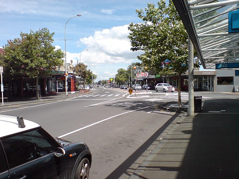
Photo: Ingolfson, Public domain.
Ponsonby is an inner-city suburb of Auckland located 2 km west of the Auckland CBD. The suburb is oriented along a ridge running north–south, which is followed by the main street of the suburb, Ponsonby Road.
Saint Marys Bay
Suburb

Photo: Prosperosity, CC BY 4.0.
Saint Marys Bay is an inner suburb of Auckland, New Zealand.
Herne Bay
Suburb
 Herne Bay is a suburb of Auckland, New Zealand. It is located on the southwestern shore of the Waitematā Harbour to the west of the Auckland Harbour Bridge.
Pompallier Terrace
- Type: Bus stop
- Category: transportation
- Location: Auckland, Auckland Region, North Island, New Zealand, Oceania
- View on OpenStreetMap
Latitude
-36.84793° or 36° 50′ 53″ southLongitude
174.74299° or 174° 44′ 35″ eastNetwork
Auckland TransportOpen location code
4VMP5P2V+R5OpenStreetMap ID
node 4080874696OpenStreetMap feature
highway=bus_stopOpenStreetMap feature
public_transport=platform
This page is based on OpenStreetMap, Wikidata, and Wikimedia Commons.
We’d love your help improving our open data sources. Thank you for contributing.
Satellite Map
Discover Pompallier Terrace from above in high-definition satellite imagery.
Places with the Same Name
Discover other places named “Pompallier Terrace”.
Notable Places Nearby
Highlights include Bishop Pompallier Reserve and Allfit.
Nearby Places
Explore places such as Bank of New Zealand and Ponsonby NZ Post & Kiwibank.
Auckland: Must-Visit Destinations
Delve into Central Auckland, North Shore, South Auckland, and West Auckland.
Curious Bus Stops to Discover
Uncover intriguing bus stops from every corner of the globe.
About Mapcarta. Data © OpenStreetMap contributors and available under the Open Database License". Text is available under the CC BY-SA 4.0 license, except for photos, directions, and the map. Photo: Ralf Roletschek, CC BY 2.5.