Jesus-Haus, Freie Christen Gemeinde
Jesus-Haus, Freie Christen Gemeinde is a church in Andernach, Mayen-Koblenz, Rhineland-Palatinate. Jesus-Haus, Freie Christen Gemeinde is situated nearby to the church Königreichssaal, as well as near St. Stephan.| Tap on a place to explore it |
- Type: Church
- Denomination: Pentecostal
- Wheelchair access: limited
Places of Interest Nearby
Highlights include Stadion SG 99 Andernach and Krahnenberg-Kaserne.
Stadion SG 99 Andernach
Stadium

Photo: LigaDue, CC BY-SA 4.0.
Stadion SG 99 Andernach is a stadium, which is situated 720 metres northeast of Jesus-Haus, Freie Christen Gemeinde.
Krahnenberg-Kaserne
Barracks

Photo: Gamsbart, CC BY-SA 3.0.
Krahnenberg-Kaserne is a barracks, which is situated 490 metres northwest of Jesus-Haus, Freie Christen Gemeinde.
Andernach station
Railway station

Photo: DB-ICE, Public domain.
Andernach station is the transportation hub of the city of Andernach in the German state of Rhineland-Palatinate. It is a mid-sized station with thousands of passengers each day. Andernach station is situated 1½ km northwest of Jesus-Haus, Freie Christen Gemeinde.
Places in the Area
Nearby places include Andernach and Fahr.
Andernach
Town
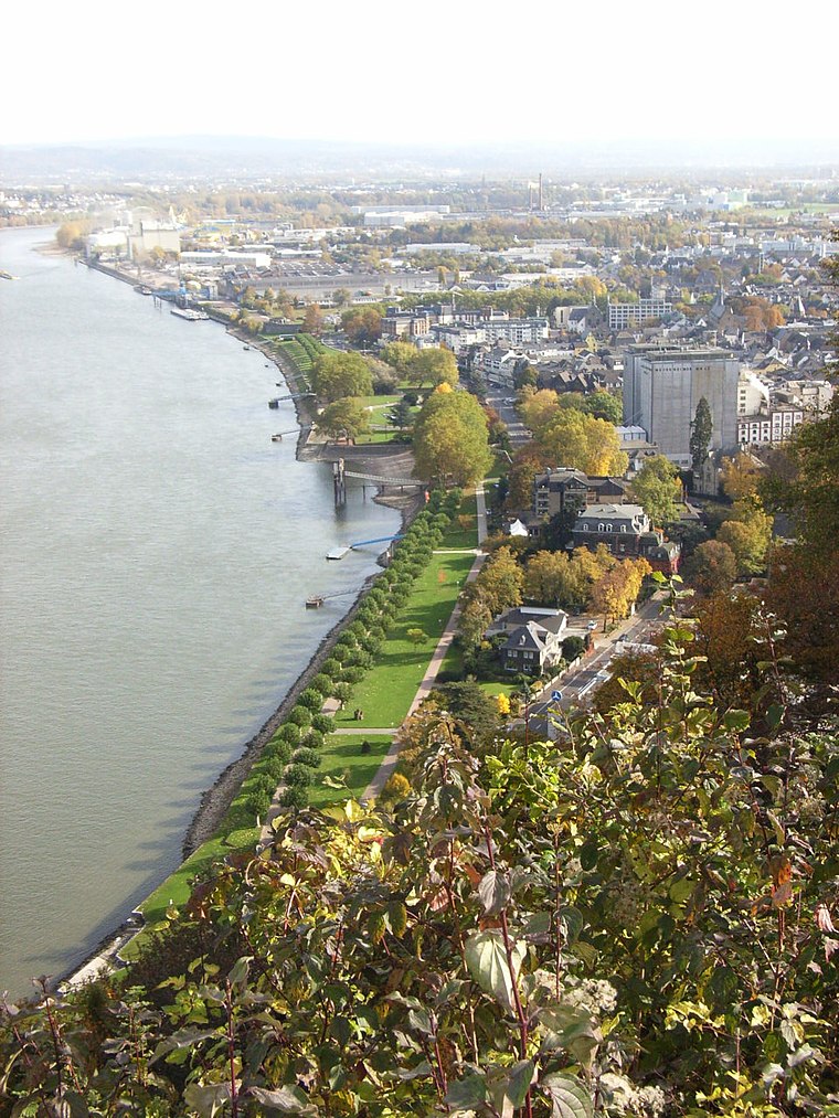
Photo: Maus-Trauden, CC BY-SA 3.0.
Andernach is a town in the district of Mayen-Koblenz, in Rhineland-Palatinate, Germany, of about 30,000 inhabitants. It is situated towards the end of the Neuwied basin on the left bank of the Rhine between the former tiny fishing village of Fornich in the…
Fahr
Locality

Photo: Frila, CC BY-SA 3.0.
The ancient village of Fahr bordering the Rhine river is today part of the Feldkirchen district belonging to the town of Neuwied in northern Rhineland-Palatinate, Germany. Fahr is situated 3 km north of Jesus-Haus, Freie Christen Gemeinde.
Weißenthurm
Town

Photo: Schaengel, CC BY-SA 3.0 de.
Weißenthurm is a town in the district of Mayen-Koblenz, in Rhineland-Palatinate, Germany. It is situated on the left bank of the Rhine, opposite Neuwied, approximately 12 km northwest of Koblenz. Weißenthurm is situated 3 km east of Jesus-Haus, Freie Christen Gemeinde.
Jesus-Haus, Freie Christen Gemeinde
- Categories: place of worship and religion
- Location: Andernach, Mayen-Koblenz, Rhineland-Palatinate, Germany, Central Europe, Europe
- View on OpenStreetMap
Latitude
50.42124° or 50° 25′ 17″ northLongitude
7.41421° or 7° 24′ 51″ eastOpen location code
9F29CCC7+FMOpenStreetMap ID
node 409761438OpenStreetMap feature
amenity=place_of_worshipOpenStreetMap attribute
denomination=pentecostalOpenStreetMap attribute
wheelchair=limited
This page is based on OpenStreetMap, Wikidata, and Wikimedia Commons.
We’d love your help improving our open data sources. Thank you for contributing.
Satellite Map
Discover Jesus-Haus, Freie Christen Gemeinde from above in high-definition satellite imagery.
Notable Places Nearby
Highlights include Königreichssaal and St. Stephan.
Nearby Places
Explore places such as Andernach, Wilhelm-Bedenknecht-Straße and Wilhelm-Bedenknecht-Straße.
Rhineland-Palatinate: Must-Visit Destinations
Delve into Mainz, Trier, Koblenz, and Worms.
Curious Churches to Discover
Uncover intriguing churches from every corner of the globe.
About Mapcarta. Data © OpenStreetMap contributors and available under the Open Database License". Text is available under the CC BY-SA 4.0 license, except for photos, directions, and the map. Photo: Traveler100, CC BY-SA 3.0.