Trinity High School Masajja
Trinity High School Masajja is a school in Makindye Division, Kampala Capital City, Central Uganda which is located on Salaama Road. Trinity High School Masajja is situated nearby to the hospital LIFE STAR GENERAL MED, as well as near the mosque Answari Masjid.| Tap on a place to explore it |
- Opening hours: 24/7
- Type: School
- Address: Salaama Road, Kampala
Places of Interest Nearby
Highlights include St. Denis Ssebugwawo Secondary School.
St. Denis Ssebugwawo Secondary School
School
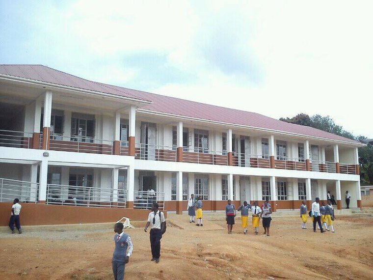
Photo: Wikimedia, CC BY-SA 3.0.
St. Denis Ssebugwawo Secondary School is a Ugandan mixed day and boarding school, located in Ggaba, Kampala District. The school covers senior one to senior six classes. St. Denis Ssebugwawo Secondary School is situated 3½ km east of Trinity High School Masajja.
Places in the Area
Nearby places include Munyonyo and Ggaba.
Munyonyo
Suburb

Photo: Wulman83, CC BY-SA 3.0.
Munyonyo is an area on the northern shores of Lake Victoria and part of the metropolitan area of Kampala, in Makindye Division. Munyonyo is situated 3½ km southeast of Trinity High School Masajja.
Ggaba
Suburb
Ggaba is a neighborhood within the city of Kampala in the Central Region of Uganda. Ggaba is situated 4 km east of Trinity High School Masajja.
Zana
Village
Zana is a neighborhood in Ssabagabo Municipality, Kyaddondo County, Wakiso District, in Central Uganda. The place was named after a powerful business woman in 80s called Zana. Zana is situated 4 km west of Trinity High School Masajja.
Trinity High School Masajja
- Category: education
- Location: Makindye Division, Kampala Capital City, Kampala District, Central Uganda, Uganda, East Africa, Africa
- View on OpenStreetMap
Latitude
0.26314° or 0° 15′ 47″ northLongitude
32.59629° or 32° 35′ 47″ eastOpen location code
6GGJ7H7W+7GOpenStreetMap ID
node 4105120502OpenStreetMap feature
amenity=school
This page is based on OpenStreetMap, Wikidata, and Wikimedia Commons.
We’d love your help improving our open data sources. Thank you for contributing.
Satellite Map
Discover Trinity High School Masajja from above in high-definition satellite imagery.
Notable Places Nearby
Highlights include LIFE STAR GENERAL MED and Answari Masjid.
Nearby Places
Explore places such as Jacob Primary School and Jabu Medical Clinic.
Central Uganda: Must-Visit Destinations
Delve into Kampala, Entebbe, Masaka, and Ssese Islands.
Curious Places to Discover
Uncover intriguing places from every corner of the globe.
About Mapcarta. Data © OpenStreetMap contributors and available under the Open Database License". Text is available under the CC BY-SA 4.0 license, except for photos, directions, and the map. Photo: Wikimedia, CC0.