Kouvolan Yhteiskoulu
Kouvolan Yhteiskoulu is a school in Kouvola, Kymenlaakso. Kouvolan Yhteiskoulu is situated nearby to the public building Kouvolan Seurakuntakeskus, as well as near the square Kansalaistori.| Tap on a place to explore it |
Places of Interest Nearby
Highlights include St. Ursula’s Church and Kouvola Central Church.
St. Ursula’s Church
Church

Photo: Игорь Гордеев, CC BY-SA 4.0.
The St. Ursula's Church is a Roman Catholic church in Kouvola, Finland. The congregation was founded in 1985, and at first the masses were celebrated in an apartment. St. Ursula’s Church is situated 330 metres west of Kouvolan Yhteiskoulu.
Kouvola Central Church
Church

Photo: ThePeter, Public domain.
Kouvola Central Church is situated 310 metres west of Kouvolan Yhteiskoulu.
Lumon arena
Sports venue

Photo: ROFI44WIK, CC BY-SA 3.0.
Lumon arena is an ice hockey arena located in Kouvola, Finland. The arena has a seating capacity of about 5,950. The arena's official public record is from the 1985, I-Divisioona match KooKoo against SaiPa, followed by 5350 spectators. Lumon arena is situated 510 metres east of Kouvolan Yhteiskoulu.
Places in the Area
Nearby places include Tehola and Kuusankoski.
Tehola
Neighborhood

Photo: Nimimerkki951, CC BY-SA 4.0.
Tehola is a neighborhood, which is situated 3½ km east of Kouvolan Yhteiskoulu.
Kuusankoski
Town

Photo: Niera, CC BY-SA 3.0.
Kuusankoski is a neighbourhood of city of Kouvola, former industrial town and municipality of Finland, located in the region of Kymenlaakso in the province of Southern Finland. Kuusankoski is situated 6 km northwest of Kouvolan Yhteiskoulu.
Koria
Town
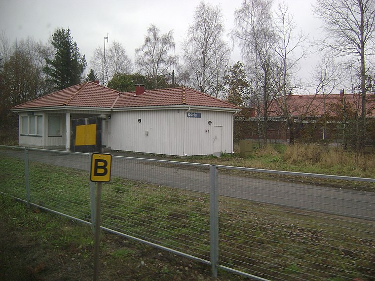
Photo: Junafani, CC BY-SA 3.0.
Koria is an unincorporated village in the region of Kymenlaakso, Finland. It is under the administration of the town of Kouvola. It is located on Finnish national road 6 6.7 kilometres west of the Kouvola centre and 129 kilometres from Helsinki. Koria is situated 6 km southwest of Kouvolan Yhteiskoulu.
Kouvolan Yhteiskoulu
- Type: School
- Address: Kouvola
- Category: education
- Location: Kouvola, Kouvola, Kymenlaakso, Southern Finland, Finland, Nordic countries, Europe
- View on OpenStreetMap
Latitude
60.87119° or 60° 52′ 16″ northLongitude
26.70198° or 26° 42′ 7″ eastOpen location code
9GG8VPC2+FQOpenStreetMap ID
node 412726089OpenStreetMap feature
amenity=school
This page is based on OpenStreetMap, Wikidata, and Wikimedia Commons.
We’d love your help improving our open data sources. Thank you for contributing.
Satellite Map
Discover Kouvolan Yhteiskoulu from above in high-definition satellite imagery.
Notable Places Nearby
Highlights include Kouvolan Seurakuntakeskus and Kansalaistori.
Nearby Places
Explore places such as Kouvolan Yhteiskoulu, B-talo and Kankaan koulu L.
Kymenlaakso: Must-Visit Destinations
Delve into Kotka, Hamina, Miehikkälä, and Pyhtää.
Curious Places to Discover
Uncover intriguing places from every corner of the globe.
About Mapcarta. Data © OpenStreetMap contributors and available under the Open Database License". Text is available under the CC BY-SA 4.0 license, except for photos, directions, and the map. Photo: Junafani, CC BY-SA 3.0.