Tsalikovo
Tsalikovo is a village in North Ossetia, North Caucasus. Tsalikovo is situated nearby to the village Suadag, as well as near Nogkau.| Tap on a place to explore it |
Places in the Area
Nearby places include Alagir and Verkhniy Biragzang.
Alagir
Town

Photo: МаратС, CC BY-SA 3.0.
Alagir is an industrial town and the administrative center of Alagirsky District in the Republic of North Ossetia-Alania, Russia, located on the west bank of the Ardon River, 54 kilometers west of the republic's capital Vladikavkaz. Alagir is situated 5 km southwest of Tsalikovo.
Verkhniy Biragzang
Village
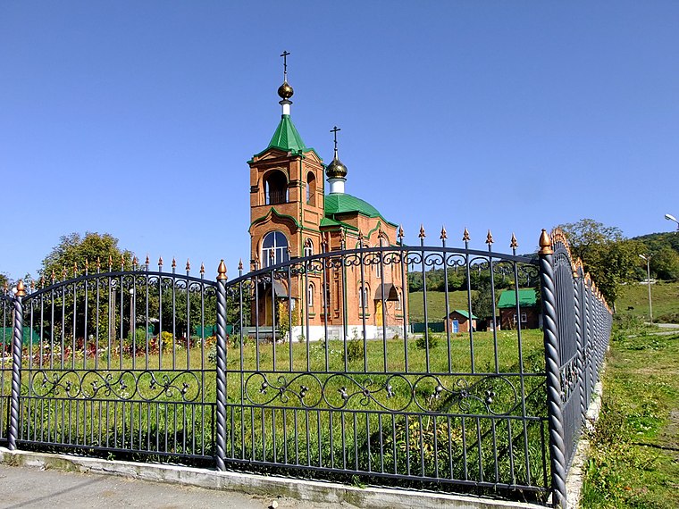
Photo: Wikimedia, CC BY-SA 3.0.
Verkhniy Biragzang is a village, which is situated 7 km south of Tsalikovo.
Kadgaron
Village

Photo: Chereck, CC BY-SA 4.0.
Kadgaron is a village, which is situated 8 km northeast of Tsalikovo.
Tsalikovo
- Type: Village
- Address: Алагирский район
- Category: locality
- Location: North Ossetia, North Caucasus, Southern Russia, Russia, Eastern Europe, Europe
- View on OpenStreetMap
Latitude
43.06995° or 43° 4′ 12″ northLongitude
44.27057° or 44° 16′ 14″ eastOpen location code
8HM6379C+X6OpenStreetMap ID
node 412887581OpenStreetMap feature
place=village
This page is based on OpenStreetMap, Wikidata, and Wikimedia Commons.
We’d love your help improving our open data sources. Thank you for contributing.
Satellite Map
Discover Tsalikovo from above in high-definition satellite imagery.
In Other Languages
From German to Russian—“Tsalikovo” goes by many names.
- German: “Zalikowo”
- Russian: “Цаликово”
Localities in the Area
Explore places such as Tsalikovo and Suadag.
Notable Places Nearby
Highlights include Khetag’s grove and Памятник, мемориал.
North Caucasus: Must-Visit Destinations
Delve into Chechnya, Ingushetia, Kabardino-Balkaria, and Grozny.
Curious Villages to Discover
Uncover intriguing villages from every corner of the globe.
About Mapcarta. Data © OpenStreetMap contributors and available under the Open Database License". Text is available under the CC BY-SA 4.0 license, except for photos, directions, and the map. Photo: Rost.galis, CC BY-SA 4.0.