Abraham van Stolkweg
Abraham van Stolkweg is a bus stop in Rotterdam, Rotterdam-The Hague Metropolitan Region, South Holland. Abraham van Stolkweg is situated nearby to the marina W.S.V. Blijdorp, as well as near Fokhaven (Rotterdam).| Tap on a place to explore it |
Places of Interest Nearby
Highlights include Fokhaven (Rotterdam) and Diergaarde Blijdorp.
Fokhaven (Rotterdam)
Marina

Photo: AgainErick, CC BY-SA 3.0.
Fokhaven (Rotterdam) is a marina, which is situated 110 metres north of Abraham van Stolkweg.
Diergaarde Blijdorp
Zoo

Photo: Sherpa, CC BY-SA 3.0.
Diergaarde Blijdorp, officially Rotterdam Zoo, is a zoo located in the northwestern part of Rotterdam. It is one of the oldest zoos in the Netherlands, and has been operated by the Stichting Koninklijke Rotterdamse Diergaarde. Diergaarde Blijdorp is situated 570 metres east of Abraham van Stolkweg.
Sparta Stadion Het Kasteel
Stadium
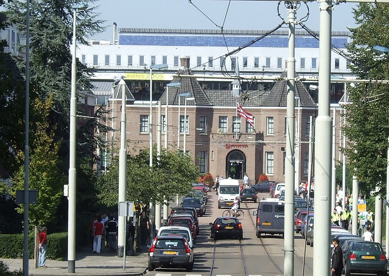
Photo: Hanhil, CC BY-SA 3.0.
The Sparta Stadion, nicknamed Het Kasteel, is a football stadium in Rotterdam, Netherlands. It is the home ground of Sparta Rotterdam. It has a capacity of 11,026. Sparta Stadion Het Kasteel is situated 1 km southwest of Abraham van Stolkweg.
Places in the Area
Nearby places include Kleinpolder and Blijdorp.
Kleinpolder
Quarter
Kleinpolder is a neighborhood of Rotterdam, Netherlands. Kleinpolderplein, is home to a 2012 sculpture garden, constructed underneath one of the busiest interchanges in the Netherlands.
Blijdorp
Neighborhood
Blijdorp is a neighbourhood in northern Rotterdam and is part of the borough Noord. The neighbourhood has around 9500 inhabitants.
Spangen
Quarter
Spangen is a neighborhood of Rotterdam, Netherlands. It is in the west of the city with about 10000 inhabitants. From the entrance of Spangen to the center is formed by the Mathenesserbrug across the Delfshavense Schie.
Abraham van Stolkweg
- Type: Bus stop
- Category: transportation
- Location: Rotterdam, Rotterdam-The Hague Metropolitan Region, South Holland, Western Netherlands, Netherlands, Benelux, Europe
- View on OpenStreetMap
Latitude
51.92821° or 51° 55′ 42″ northLongitude
4.43952° or 4° 26′ 22″ eastOpen location code
9F36WCHQ+7ROpenStreetMap ID
node 4204113485OpenStreetMap feature
highway=bus_stopOpenStreetMap feature
public_transport=platform
This page is based on OpenStreetMap, Wikidata, and Wikimedia Commons.
We’d love your help improving our open data sources. Thank you for contributing.
Satellite Map
Discover Abraham van Stolkweg from above in high-definition satellite imagery.
Notable Places Nearby
Highlights include W.S.V. Blijdorp and Fit For Free.
Nearby Places
Explore places such as Rotterdam, Abraham van Stolkweg and Abraham van Stolkweg.
Rotterdam: Must-Visit Destinations
Delve into Centrum, Capelle en Noordoost, Albrandswaard, and Port of Rotterdam.
Curious Bus Stops to Discover
Uncover intriguing bus stops from every corner of the globe.
About Mapcarta. Data © OpenStreetMap contributors and available under the Open Database License". Text is available under the CC BY-SA 4.0 license, except for photos, directions, and the map. Photo: Wikimedia, CC BY 3.0.