Gebetsberg
Gebetsberg is a peak in Lüdenscheid, Märkischer Kreis, North Rhine-Westphalia and has an elevation of 387 metres. Gebetsberg is situated nearby to the locality Hardtwiese, as well as near the suburb Oberrahmede.| Tap on a place to explore it |
Places of Interest
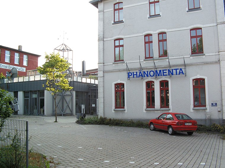
Highlights include Phänomenta Lüdenscheid and Maria Königin.


Places in the Area
Nearby places include Heedfeld and Kalve.


Gebetsberg
- Type: Peak with an elevation of 387 metres
- Category: landform
- Location: Lüdenscheid, Märkischer Kreis, Arnsberg, South Westphalia, North Rhine-Westphalia, Germany, Central Europe, Europe
- View on OpenStreetMap
Latitude
51.2447° or 51° 14′ 41″ northLongitude
7.6265° or 7° 37′ 35″ eastElevation
387 metres (1,270 feet)Open location code
9F396JVG+VHOpenStreetMap ID
node 4216015512OpenStreetMap feature
natural=peak
This page is based on OpenStreetMap, Wikidata, and Wikimedia Commons.
We’d love your help improving our open data sources. Thank you for contributing.
Satellite Map
Discover Gebetsberg from above in high-definition satellite imagery.
Places with the Same Name
Discover other places named “Gebetsberg”.
Localities in the Area
Explore places such as Hardtwiese and Oberrahmede.
Notable Places Nearby
Highlights include Gebetshaus der Nationen and St. Hedwig.
South Westphalia: Must-Visit Destinations
Delve into Siegen, Iserlohn, Soest, and Schmallenberg.
Curious Peaks to Discover
Uncover intriguing peaks from every corner of the globe.
About Mapcarta. Data © OpenStreetMap contributors and available under the Open Database License". Text is available under the CC BY-SA 4.0 license, except for photos, directions, and the map. Photo: Wikimedia, CC0.