Streetcar Stop for Portland
Streetcar Stop for Portland is a work of art in Multnomah, Oregon. Streetcar Stop for Portland is situated nearby to Memorial Fountain, as well as near the government office Prophet Education Center.| Tap on a place to explore it |
Places of Interest Nearby
Highlights include Moda Center and Veterans Memorial Coliseum.
Moda Center
Stadium

Photo: Lugnuts, CC BY-SA 3.0.
Moda Center, formerly known as the Rose Garden, is the primary indoor sports arena in Portland, Oregon, United States. It is used for basketball, rodeos, circuses, conventions, ice shows, concerts, and dramatic productions. Moda Center is situated 1,200 feet southeast of Streetcar Stop for Portland.
Veterans Memorial Coliseum
Stadium

Photo: Steve Morgan, CC BY-SA 3.0.
The Veterans Memorial Coliseum is an indoor arena located in the oldest part of the Rose Quarter area in Portland, Oregon. The arena is the home of the Portland Winterhawks, a major junior ice hockey team, and was the original home of the Portland Trail Blazers of the National Basketball Association. Veterans Memorial Coliseum is situated 850 feet south of Streetcar Stop for Portland.
Union Station
Railway station
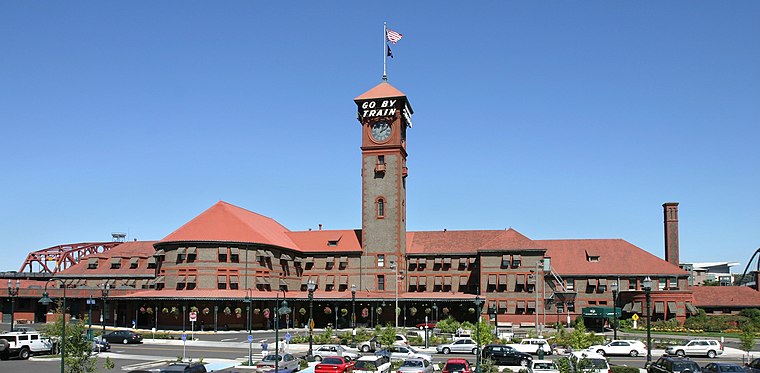
Photo: Cacophony, CC BY-SA 2.5.
Portland Union Station is a train station in Portland, Oregon, United States, situated near the western shore of the Willamette River in Old Town Chinatown. Union Station is situated 2,700 feet southwest of Streetcar Stop for Portland.
Places in the Area
Nearby places include Rose Quarter and Eliot.
Rose Quarter
Quarter
The Rose Quarter is a 30-acre sports and entertainment district located in Portland's Lloyd District on the east bank of the Willamette River, just east of downtown.
Eliot
Suburb
Eliot is a neighborhood in the North and Northeast sections of Portland, Oregon. It is approximately bounded by the Willamette River on the west, Interstate 405 and the Kerby Avenue approach to the Fremont Bridge on the northwest, NE Fremont Street on the north, NE 7th Avenue on the east, and NE/N Broadway on the south.
Lloyd District
Suburb

Photo: Cacophony, CC BY-SA 2.5.
The Lloyd District is a primarily commercial neighborhood in the North and Northeast sections of Portland, Oregon, United States. It is named after Ralph Bramel Lloyd, a California rancher, oilman, and real estate developer who moved to and was an early commercial developer for the area in 1905.
Streetcar Stop for Portland
- Type: Work of art
- Category: tourism
- Location: Multnomah, Oregon, Pacific Northwest, United States, North America
- View on OpenStreetMap
Latitude
45.53447° or 45° 32′ 4″ northLongitude
-122.6694° or 122° 40′ 10″ westInception
2013Open location code
84QVG8MJ+Q6OpenStreetMap ID
node 4218545967OpenStreetMap feature
tourism=artwork
This page is based on OpenStreetMap, Wikidata, and Wikimedia Commons.
We’d love your help improving our open data sources. Thank you for contributing.
Satellite Map
Discover Streetcar Stop for Portland from above in high-definition satellite imagery.
Notable Places Nearby
Highlights include Memorial Fountain and Prophet Education Center.
Nearby Places
Explore places such as North Broadway & Ross and North Weidler & Ross.
Oregon: Must-Visit Destinations
Delve into Portland, Salem, Eugene, and Astoria.
Curious Work Of Arts to Discover
Uncover intriguing work of arts from every corner of the globe.
About Mapcarta. Data © OpenStreetMap contributors and available under the Open Database License". Text is available under the CC BY-SA 4.0 license, except for photos, directions, and the map. Photo: Wikimedia, CC BY-SA 3.0.