Hala Stolního Tenisu
Hala Stolního Tenisu is a sports venue in Brno, South Moravia. Hala Stolního Tenisu is situated nearby to the town hall Brno-Nový Lískovec, as well as near the library Knihovna Jiřího Mahena v Brně.| Tap on a place to explore it |
Places of Interest Nearby
Highlights include Brno-Nový Lískovec and Brno 34.
Brno-Nový Lískovec
Town hall

Photo: Tomas Lollky, CC BY 3.0.
Brno-Nový Lískovec is one of the 29 city districts of Brno, Czech Republic, located in the southwestern part of the city. It consists of the municipal part and cadastral territory of Nový Lískovec, along with a small uninhabited part of Starý Lískovec, originally parts of the municipality of Lískovec, with which it was annexed to Brno in 1919. Brno-Nový Lískovec is situated 140 metres southeast of Hala Stolního Tenisu.
Brno 34
Post office

Photo: Hugo, CC BY-SA 4.0.
Brno 34 is a post office, which is situated 480 metres east of Hala Stolního Tenisu.
Brno-Starý Lískovec
Town hall

Photo: Podzemnik, CC BY-SA 3.0.
Brno-Starý Lískovec is a city district of Brno, Czech Republic, located on the southwestern edge of the city. It consists of most of the cadastral territory of Starý Lískovec, which has all of the city district's population, along with a small part of Nový Lískovec, originally the municipality of Lískovec, which was annexed to Brno in 1919. Brno-Starý Lískovec is situated 1 km southeast of Hala Stolního Tenisu.
Places in the Area
Nearby places include Brno-Nový Lískovec and Brno-Starý Lískovec.
Brno-Bosonohy
Suburb
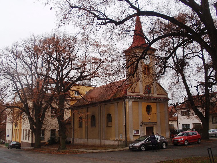
Photo: Isolda11, CC BY-SA 3.0.
Brno-Bosonohy is a city district in the southwest of the city of Brno, Czech Republic. It consists of the municipal part and cadastral territory of Bosonohy and a small part of neighbouring Kohoutovice.
Hala Stolního Tenisu
- Type: Sports venue
- Categories: table tennis, recreation area, and sports location
- Location: Brno, Brno-City District, South Moravia, Czech Republic, Central Europe, Europe
- View on OpenStreetMap
Latitude
49.17726° or 49° 10′ 38″ northLongitude
16.55297° or 16° 33′ 11″ eastOpen location code
8FXR5HG3+W5OpenStreetMap ID
node 4236928375OpenStreetMap feature
leisure=sports_centreOpenStreetMap feature
sport=table_tennis
This page is based on OpenStreetMap, Wikidata, and Wikimedia Commons.
We’d love your help improving our open data sources. Thank you for contributing.
Satellite Map
Discover Hala Stolního Tenisu from above in high-definition satellite imagery.
Notable Places Nearby
Highlights include Knihovna Jiřího Mahena v Brně and Lužánky – středisko volného času, pracoviště Lyska.
Nearby Places
Explore places such as Oblá and T8 Oblá.
South Moravia: Must-Visit Destinations
Delve into Brno, Zlín, Znojmo, and Kroměříž.
Curious Sports Venues to Discover
Uncover intriguing sports venues from every corner of the globe.
About Mapcarta. Data © OpenStreetMap contributors and available under the Open Database License". Text is available under the CC BY-SA 4.0 license, except for photos, directions, and the map. Photo: Marzper, CC BY-SA 4.0.