Blindwell
Blindwell is a dwelling in Twitchen, North Devon District, England. Blindwell is situated nearby to the peak Round Hill, as well as near Old Barrow Down.| Tap on a place to explore it |
Places of Interest Nearby
Highlights include Church of Saint Peter and Church of Saint Mary.
Church of Saint Peter
Church

Photo: Martin Bodman, CC BY-SA 2.0.
Church of Saint Peter is situated 1¼ miles southwest of Blindwell.
Church of Saint Mary
Church

Photo: Martin Bodman, CC BY-SA 2.0.
Church of Saint Mary is situated 2 miles south of Blindwell.
Places in the Area
Nearby places include Hawkridge and North Molton.
Hawkridge
Village

Photo: Grant Sherman, CC BY-SA 2.0.
Hawkridge is a village, which is situated 3½ miles east of Blindwell.
North Molton
Village
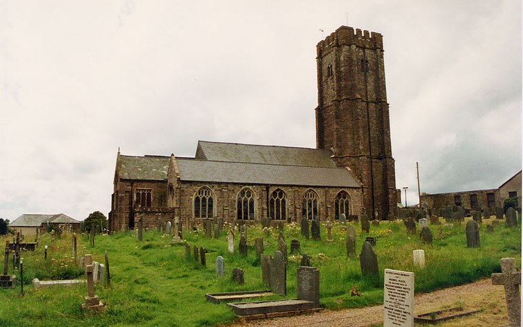
Photo: John Salmon, CC BY-SA 2.0.
North Molton is a village, parish and former manor in North Devon, England. The population of the parish in 2001 was 1,047, decreasing to 721 in the 2011 census. North Molton is situated 4 miles west of Blindwell.
Exmoor National Park
 Exmoor National Park is situated in the south west of the United Kingdom. It spreads across the north coast of Devon and west Somerset and was one of Britain's first national parks.
Blindwell
- Type: Dwelling
- Categories: locality, residential building, and building
- Location: Twitchen, North Devon District, Devon, West Country, England, United Kingdom, Britain and Ireland, Europe
- View on OpenStreetMap
Latitude
51.07251° or 51° 4′ 21″ northLongitude
-3.71048° or 3° 42′ 38″ westOpen location code
9C3R37FQ+2ROpenStreetMap ID
node 4300223681OpenStreetMap feature
place=isolated_dwelling
This page is based on OpenStreetMap, Wikidata, and Wikimedia Commons.
We’d love your help improving our open data sources. Thank you for contributing.
Satellite Map
Discover Blindwell from above in high-definition satellite imagery.
Notable Places Nearby
Highlights include Round Hill and Hawkridge Plain.
Nearby Places
Explore places such as Blindwell Bunkhouse and Sportsman’s Inn.
Devon: Must-Visit Destinations
Delve into Plymouth, Exeter, Torquay, and Barnstaple.
Curious Dwellings to Discover
Uncover intriguing dwellings from every corner of the globe.
About Mapcarta. Data © OpenStreetMap contributors and available under the Open Database License". Text is available under the CC BY-SA 4.0 license, except for photos, directions, and the map. Photo: matthewhartley369, CC BY-SA 2.0.