Urbanización Cruz de Orleans
Urbanización Cruz de Orleans is a neighborhood in Espartinas, Seville, Andalusia. Urbanización Cruz de Orleans is situated nearby to the neighborhood Urbanización Los Robles, as well as near Urbanización Jardines del Zar.| Tap on a place to explore it |
Places of Interest
Highlights include Hacienda y Convento de Nuestra Señora de Loreto and Antiguo Palacio Arzobispal.

Antiguo Palacio Arzobispal

Photo: Frobles, CC BY-SA 4.0.
Antiguo Palacio Arzobispal is situated 3 km west of Urbanización Cruz de Orleans.
Places in the Area
Nearby places include Espartinas and Villanueva del Ariscal.
Espartinas
Village

Photo: Jasev, CC BY-SA 3.0 es.
Espartinas is a city located in the province of Seville, Spain. According to the 2019 census, the city has a population of 15,791 inhabitants. It has been twinned with Clackmannanshire, Scotland since 2006.
Villanueva del Ariscal
Village

Photo: CarlosVdeHabsburgo, CC BY-SA 4.0.
Villanueva del Ariscal is a town located in the Province of Seville, Spain. It has a population of 6,571 inhabitants. It is located between Olivares and Espartinas. It also borders Sanlúcar la Mayor to the west. Villanueva del Ariscal is situated 3 km northwest of Urbanización Cruz de Orleans.
Umbrete
Village
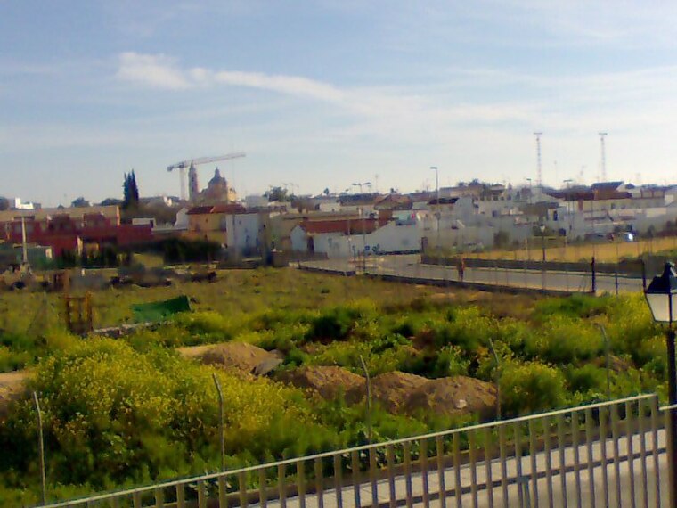
Photo: Frobles, CC BY-SA 4.0.
Umbrete is a city located in the province of Seville, Spain. According to the 2005 census, the city has a population of 5,797 inhabitants. Umbrete is situated 3½ km west of Urbanización Cruz de Orleans.
Urbanización Cruz de Orleans
- Type: Neighborhood
- Category: locality
- Location: Espartinas, Seville, Andalusia, Spain, Iberia, Europe
- View on OpenStreetMap
Latitude
37.37518° or 37° 22′ 31″ northLongitude
-6.1211° or 6° 7′ 16″ westOpen location code
8C9M9VGH+3HOpenStreetMap ID
node 4302125757OpenStreetMap feature
place=neighbourhood
This page is based on OpenStreetMap, Wikidata, and Wikimedia Commons.
We’d love your help improving our open data sources. Thank you for contributing.
Satellite Map
Discover Urbanización Cruz de Orleans from above in high-definition satellite imagery.
Localities in the Area
Explore places such as Urbanización Los Robles and Urbanización Jardines del Zar.
Notable Places Nearby
Highlights include Iberdivers Algarve and Club ‘Hacienda La Santa’.
Seville: Must-Visit Destinations
Delve into Seville, Santiponce, and Sierra Norte.
Curious Neighborhoods to Discover
Uncover intriguing neighborhoods from every corner of the globe.
About Mapcarta. Data © OpenStreetMap contributors and available under the Open Database License". Text is available under the CC BY-SA 4.0 license, except for photos, directions, and the map. Photo: Wikimedia, CC0.